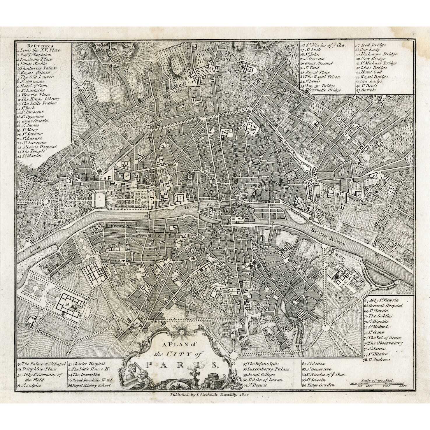
In pictorial frame: A PLAN of | the CITY of PARIS. ||
Under the border: Published by I. Stockdale Piccadilly 1800 ||
Dimensions: Sheet: 29 x 34.5 cm; Image: 22.7 x 25.9 cm.
Additional Information
| Collection | European prints and drawings |
|---|---|
| Type / Purpose | Map |
| Period | 19 AD , Early 19th century |
| Country | Great Britain |
| Language | English |
| Subject | Cities and towns , City , Early maps , Paris , Physical maps , World atlases |
| Material | Wove paper |
| Media/Technique | Copperplate engraving |
| Creation / Publishing year | 1800 |
| Acquisition year | 2021 |
Related Items


SVVP-0073.2021
The environs of Paris. — London: Baldwin & Cradock, 1832.

SVVP-0076.2021
Eastern division of Paris. — Edward Stanford, c. 1870.


