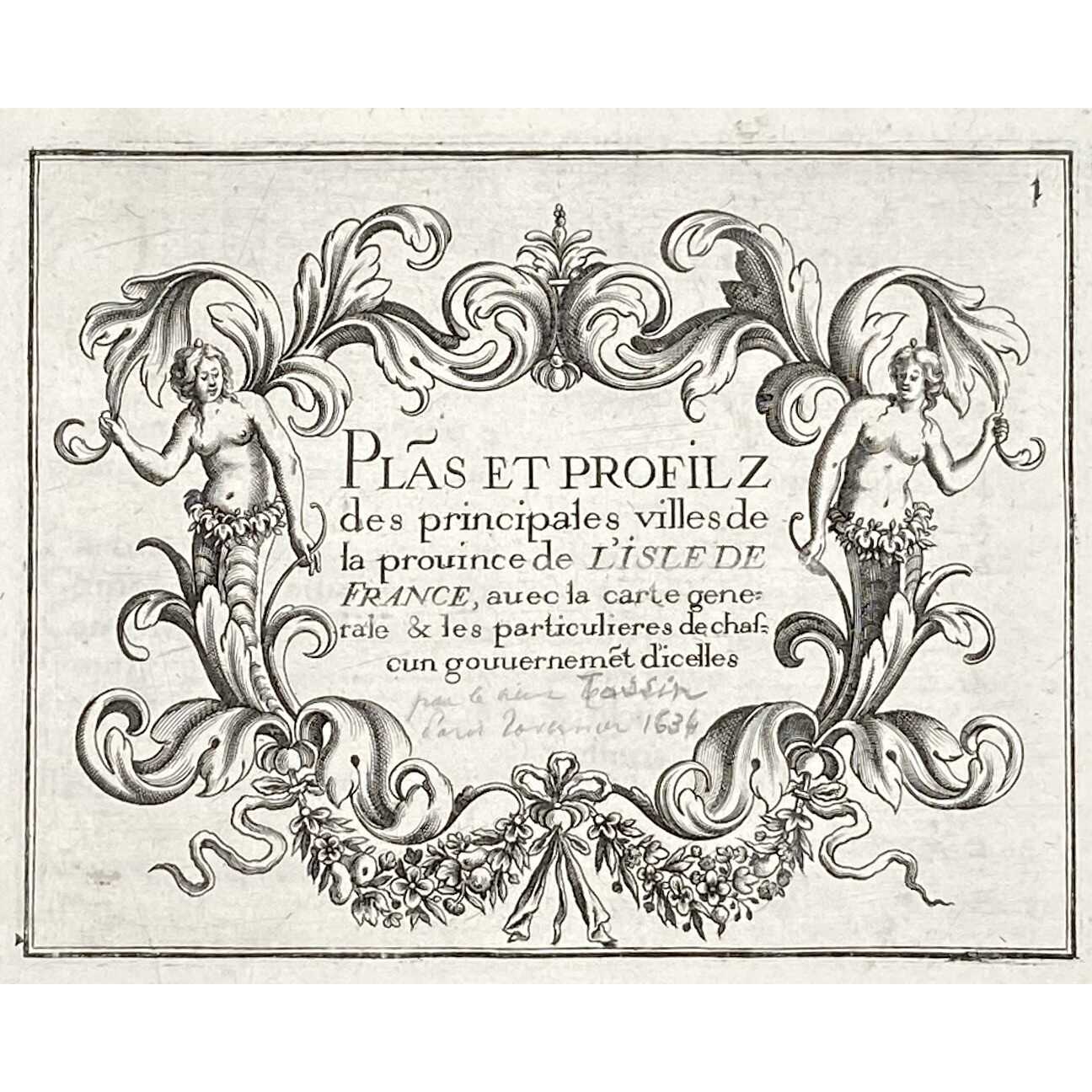

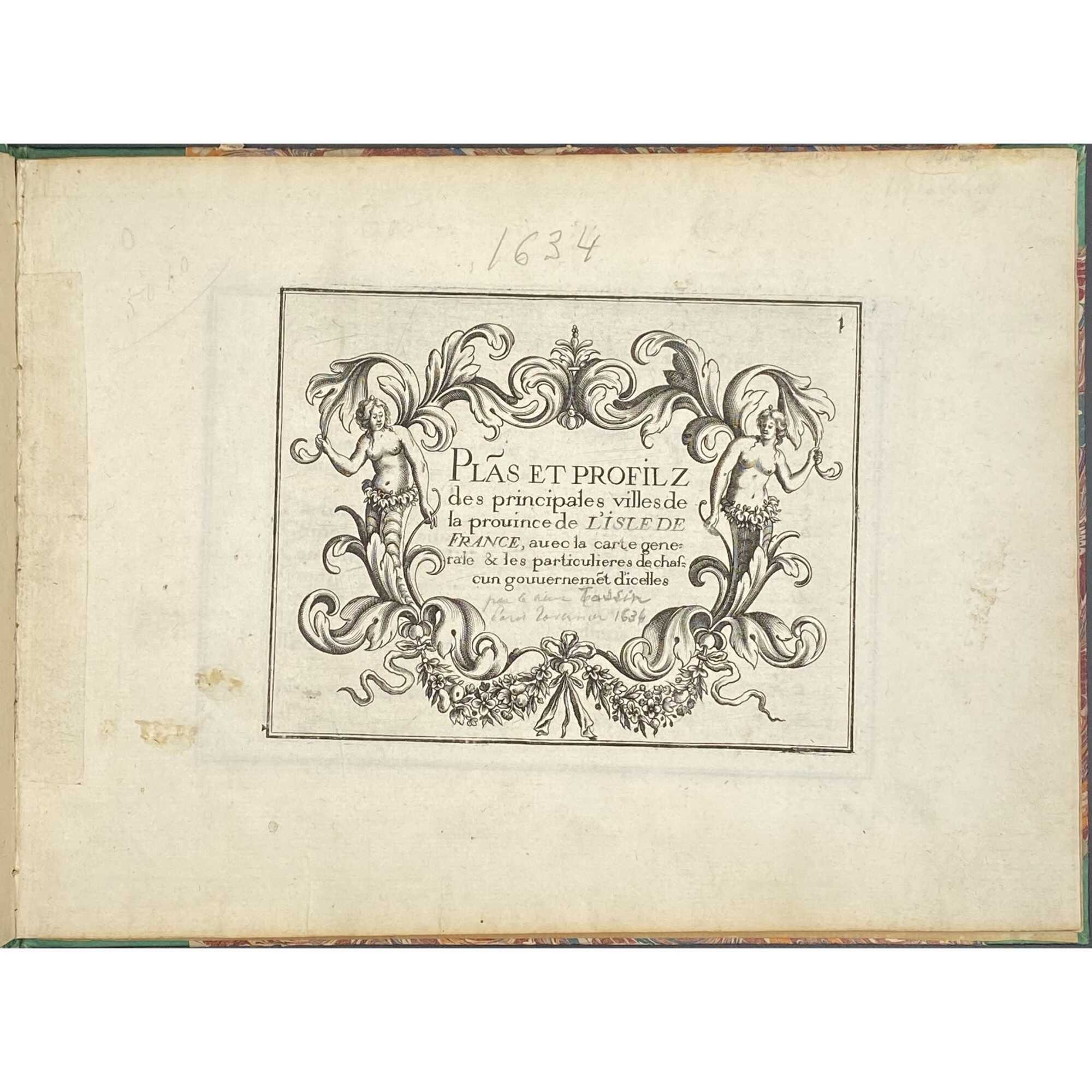

Title page: Text engraved within a vignette with two naked female torses in garlands: Plãs et profilz | des principales villes de | la prouince de L'ISLE DE | FRANCE, auec la carte gene~ | rale & les particulieres de chaf~ | cun gouuernement d'icelles.
Below handwritten pencil inscription by a previous owner: "par ... Tassin ... 1634".
Size: 17.6 x 23.7 cm,
Binding: Italian style, green half-vellum, burgundy morocco title label with vertical gilt lettering to spine, peacock marbled boards.
Pagination: Two blank flyleaves in the front and two in the back; 18 numbered engraved plates, including:
- Title page
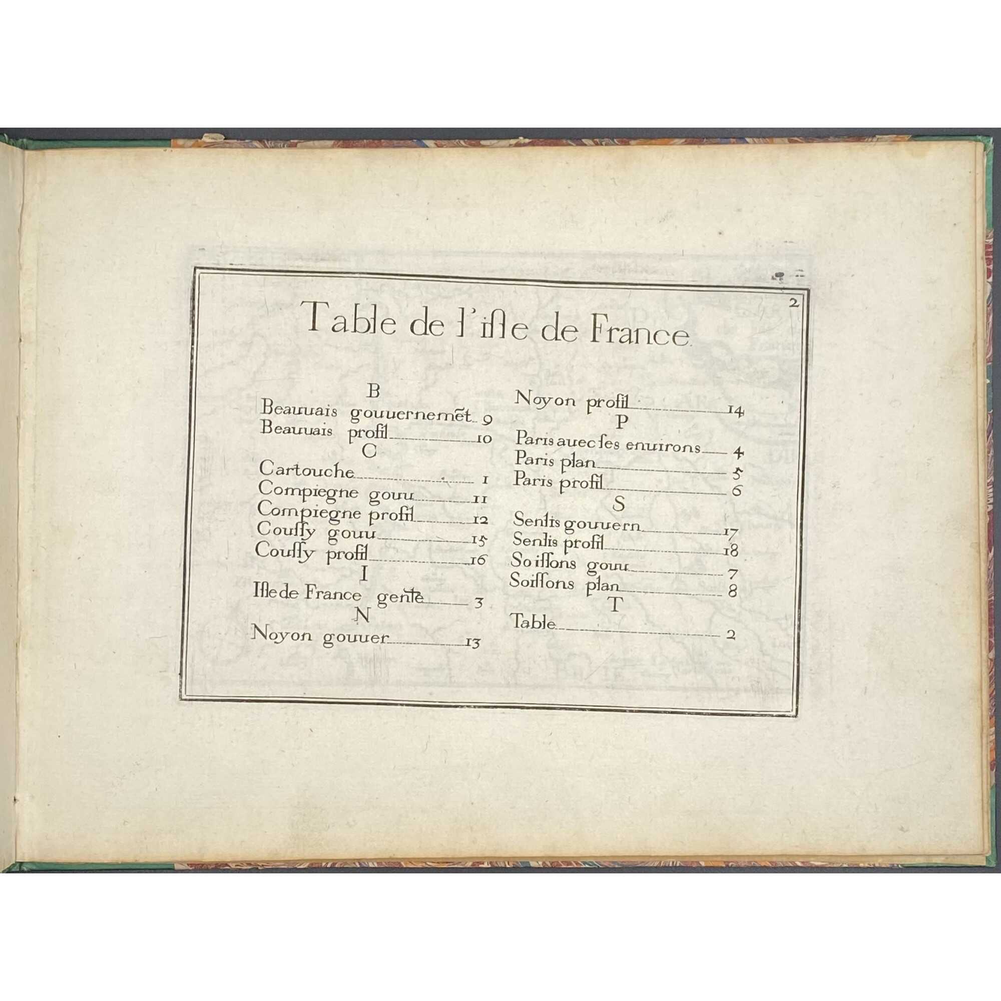
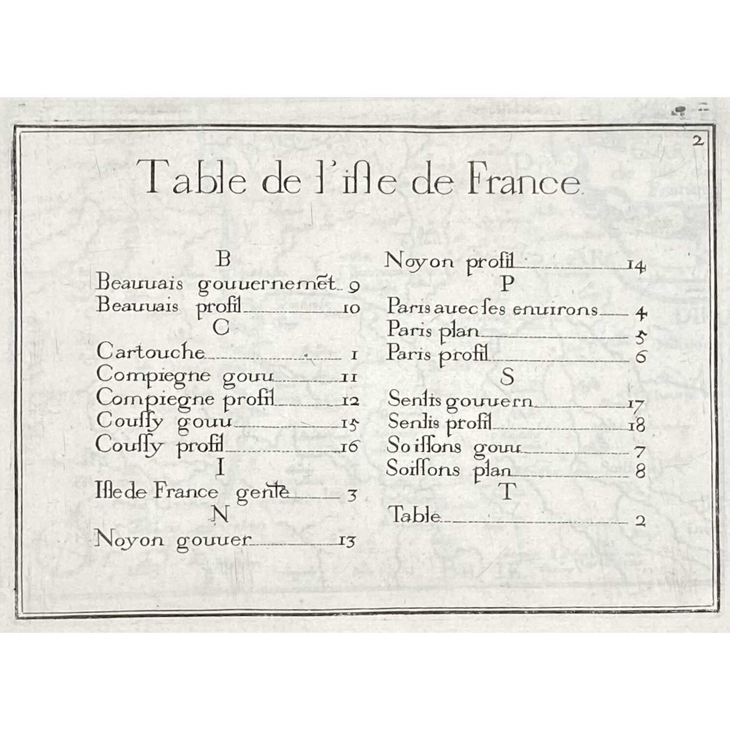
- Table of Contents
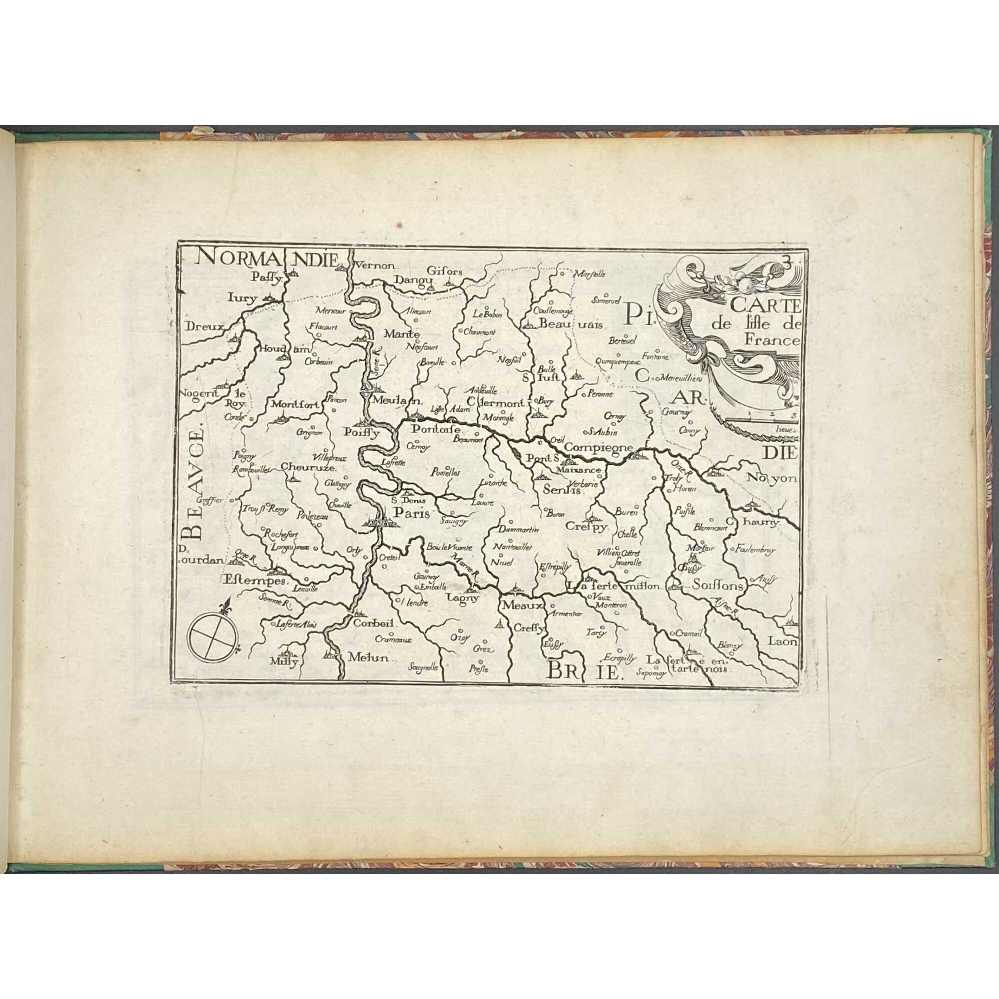
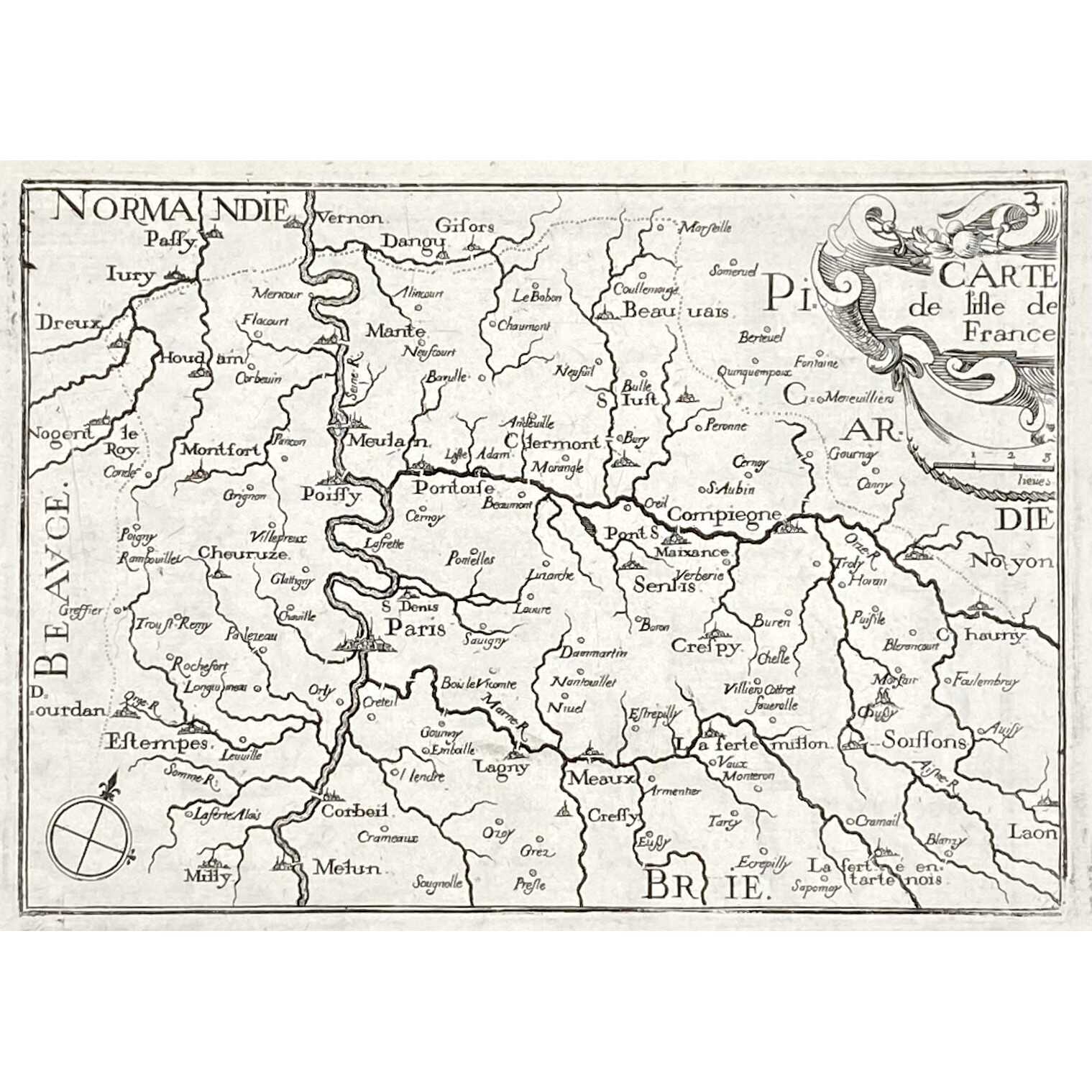
- Normandie
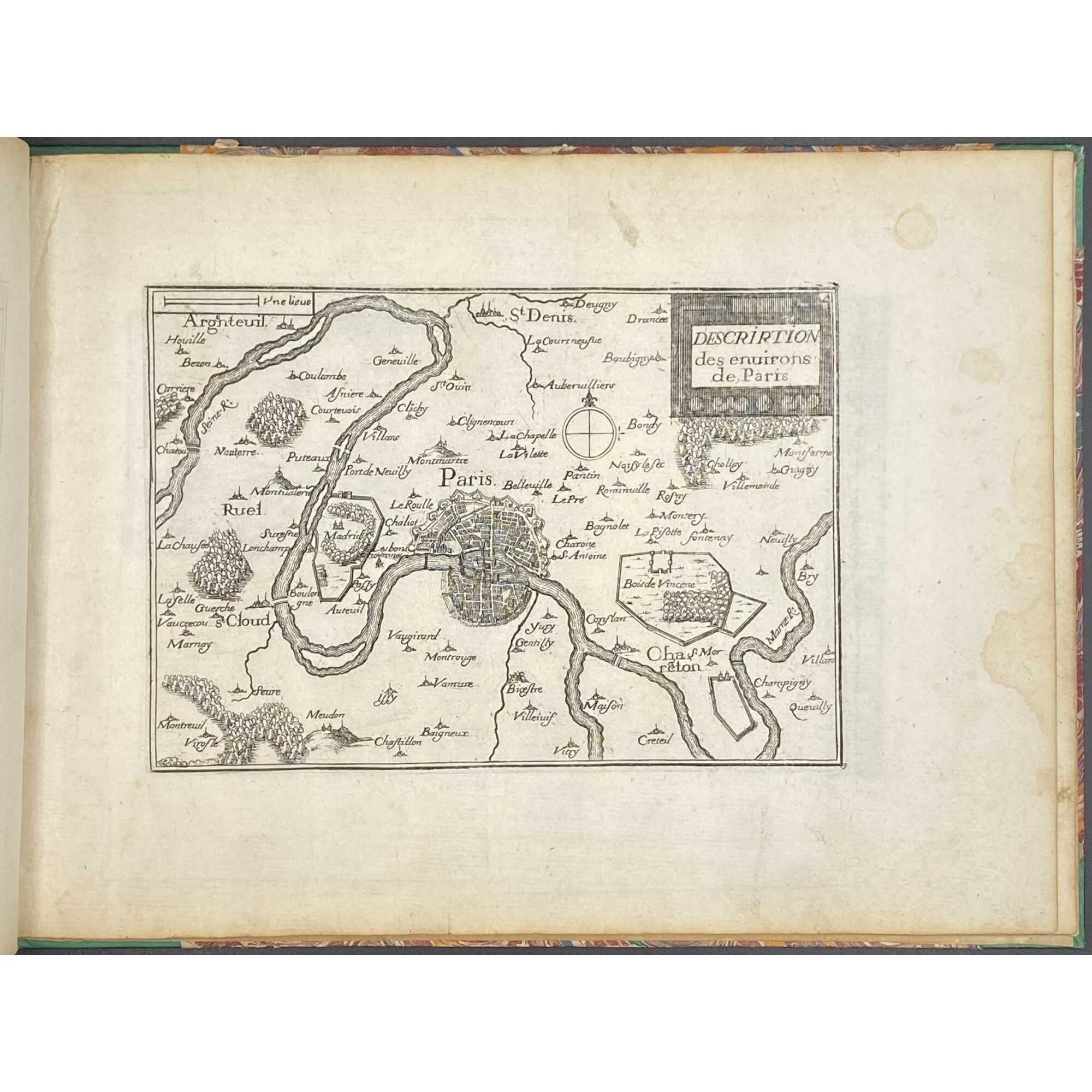
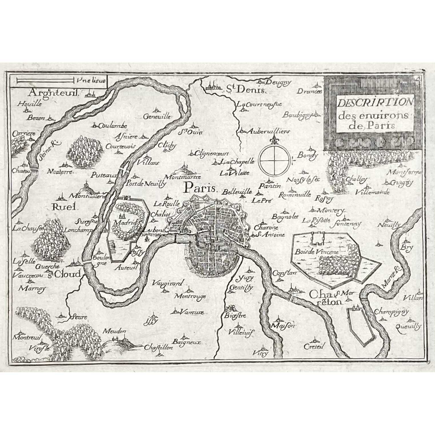
- Environs de Paris
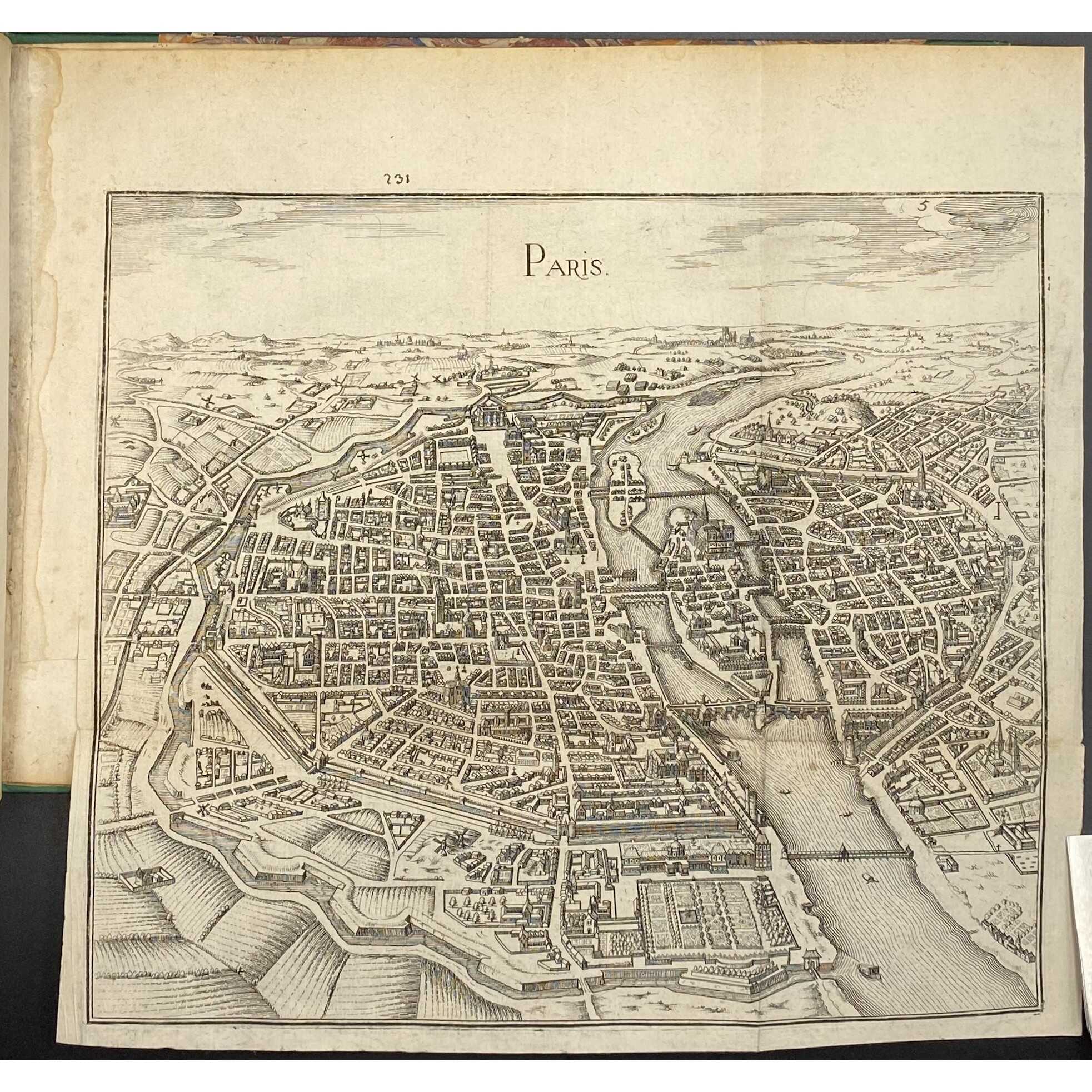
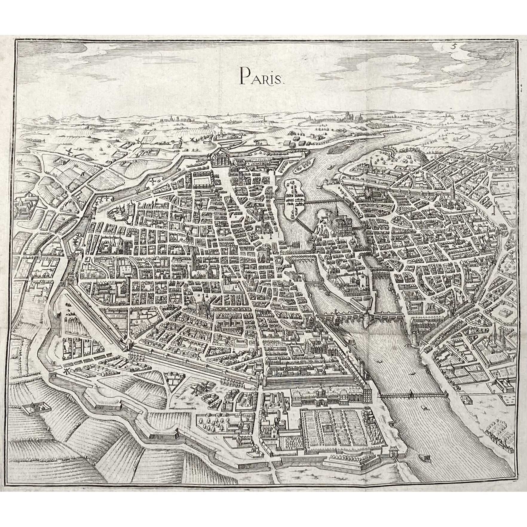
- Folding map of Paris – a simplified copy of Mathieu Merian's 1615 perspective plan, with minor updates, notably on the current housing estate of Ile Saint-Louis.
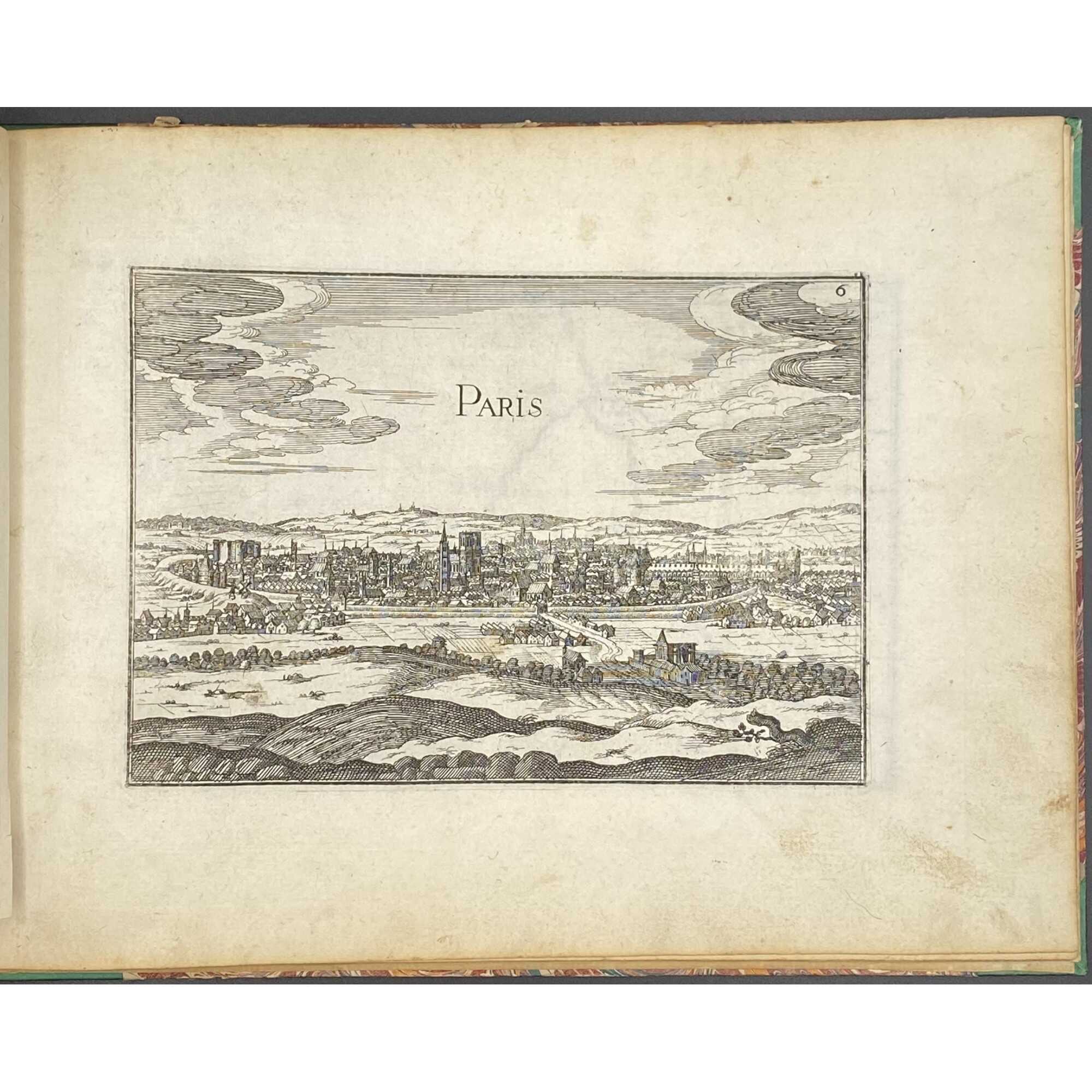
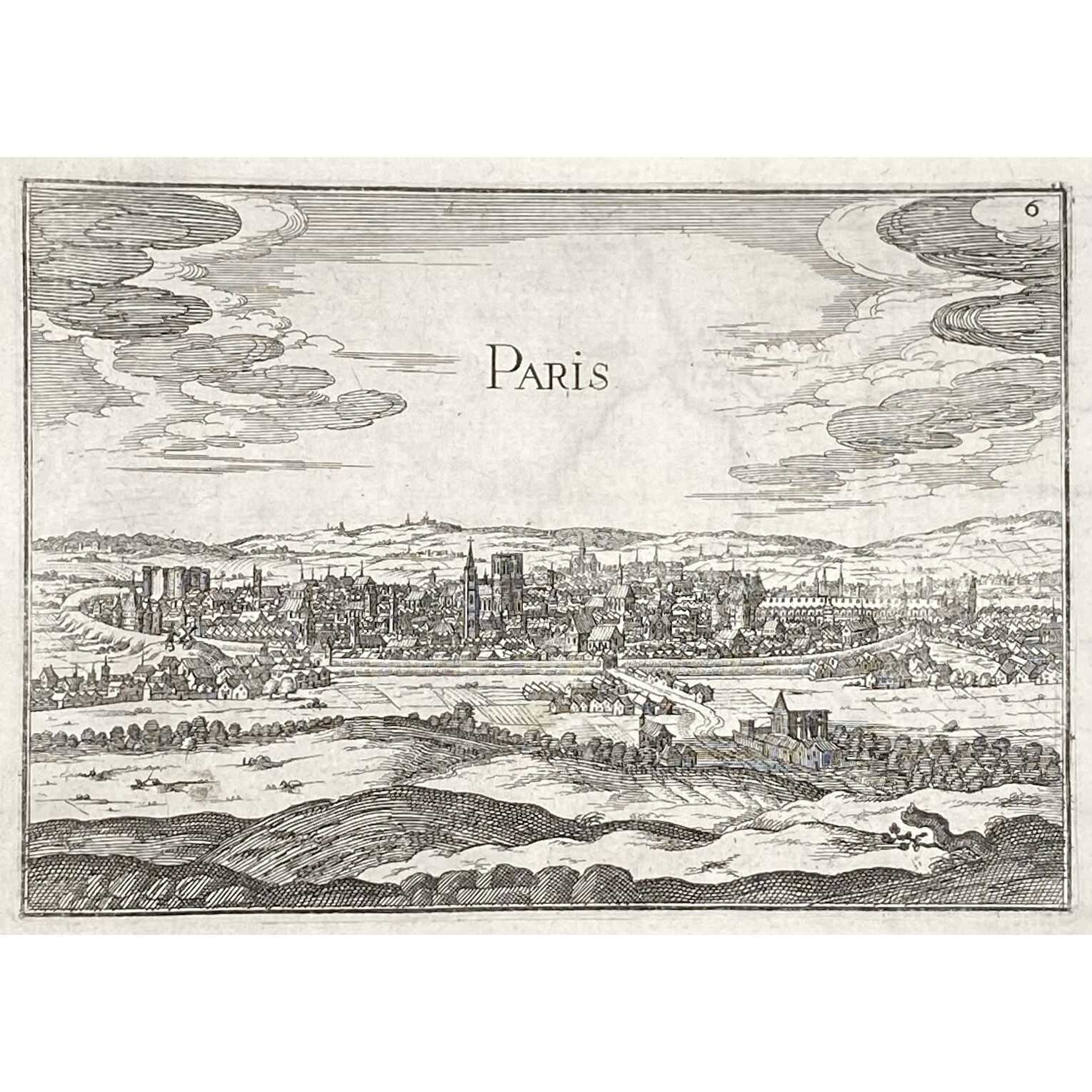
- Paris
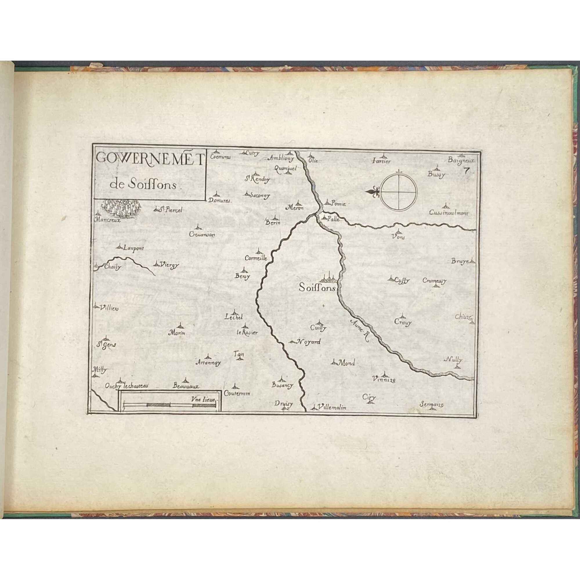
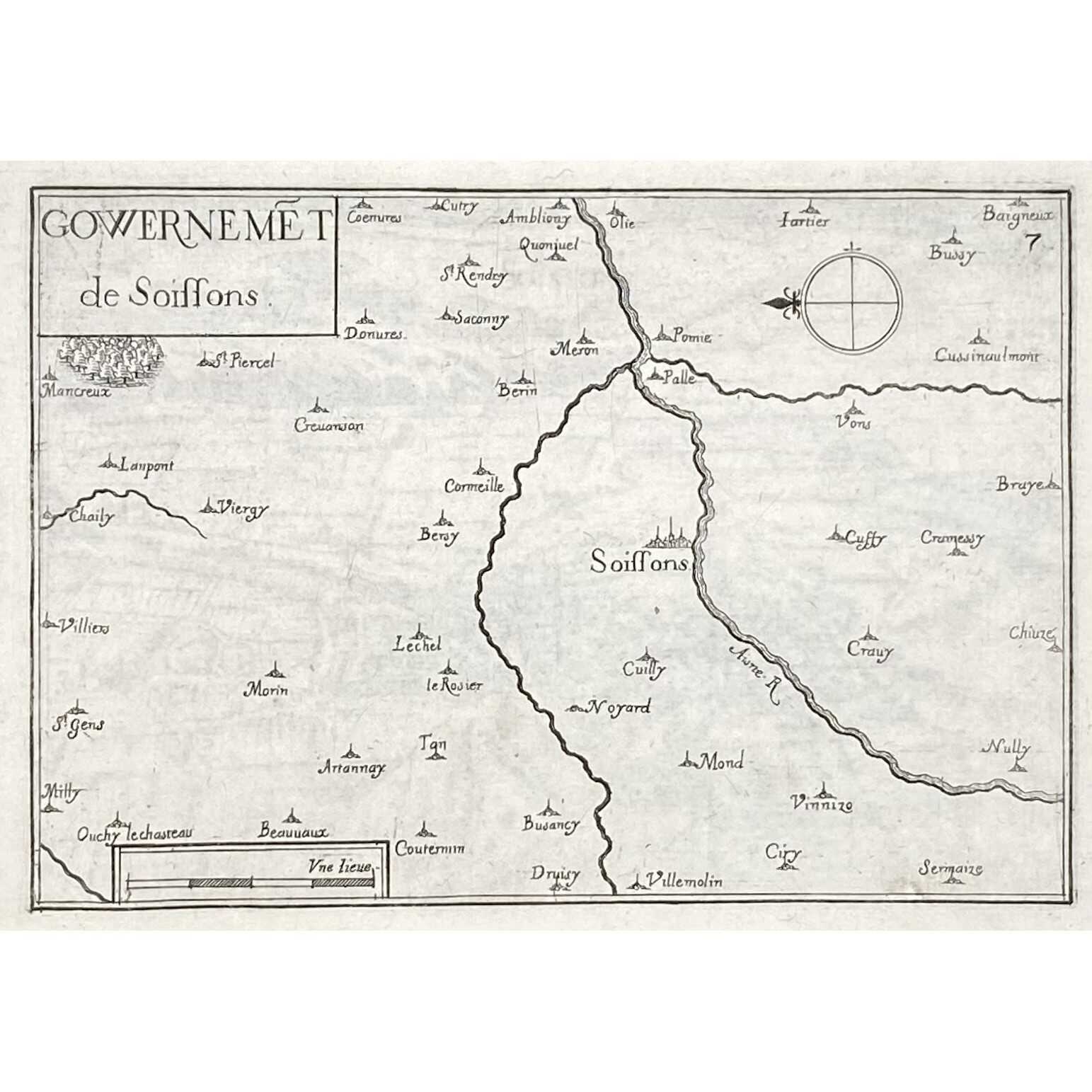
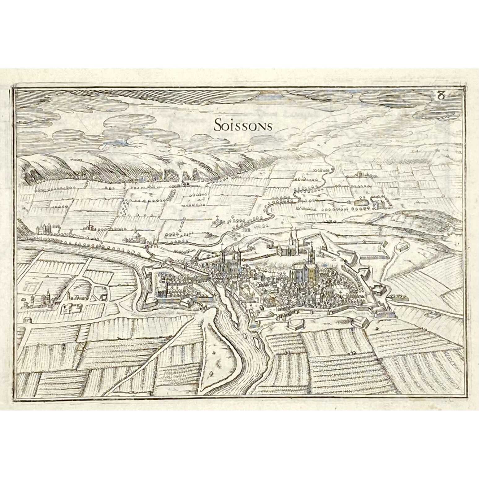
- Gouvernment de Soissons
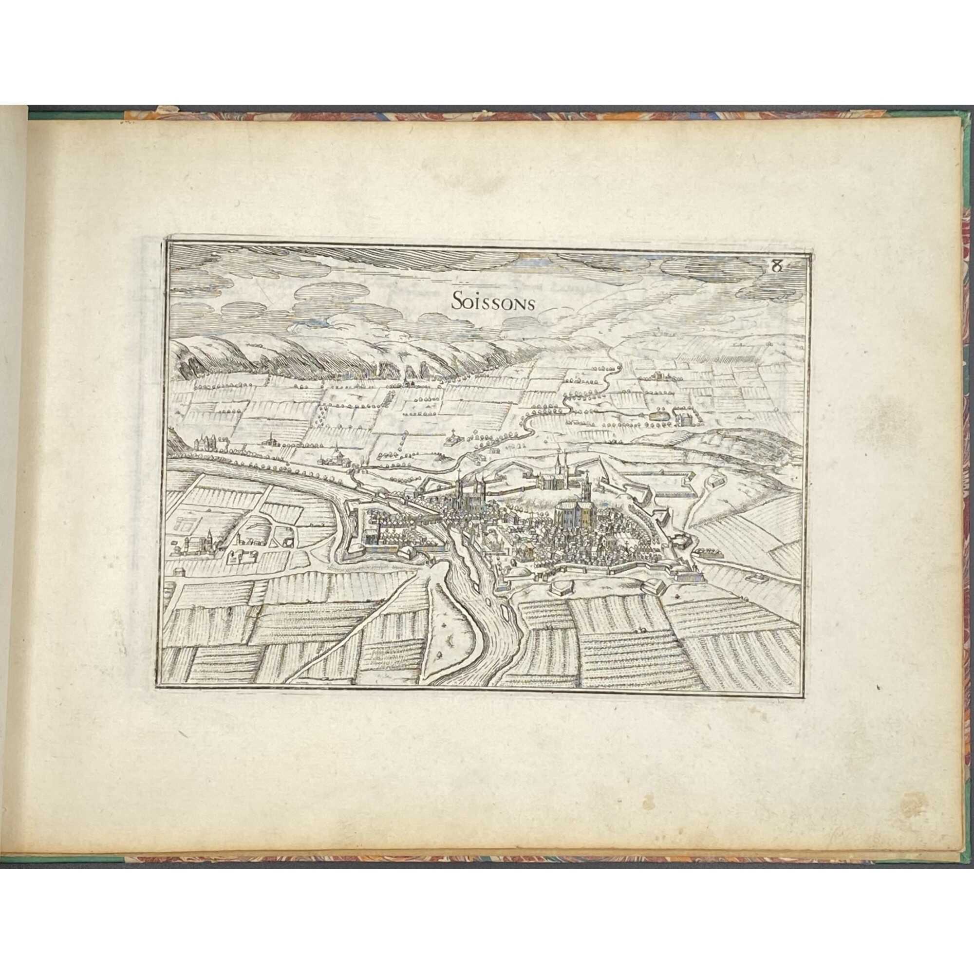
- Soissons
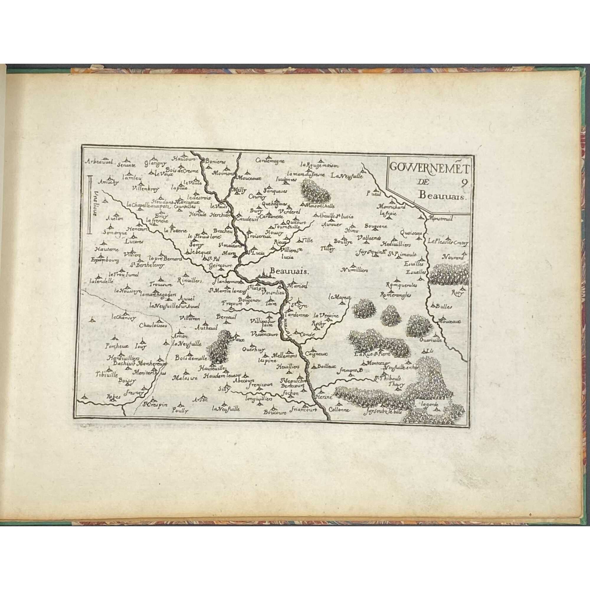
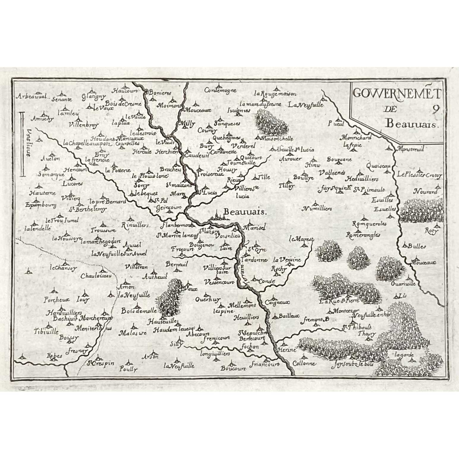
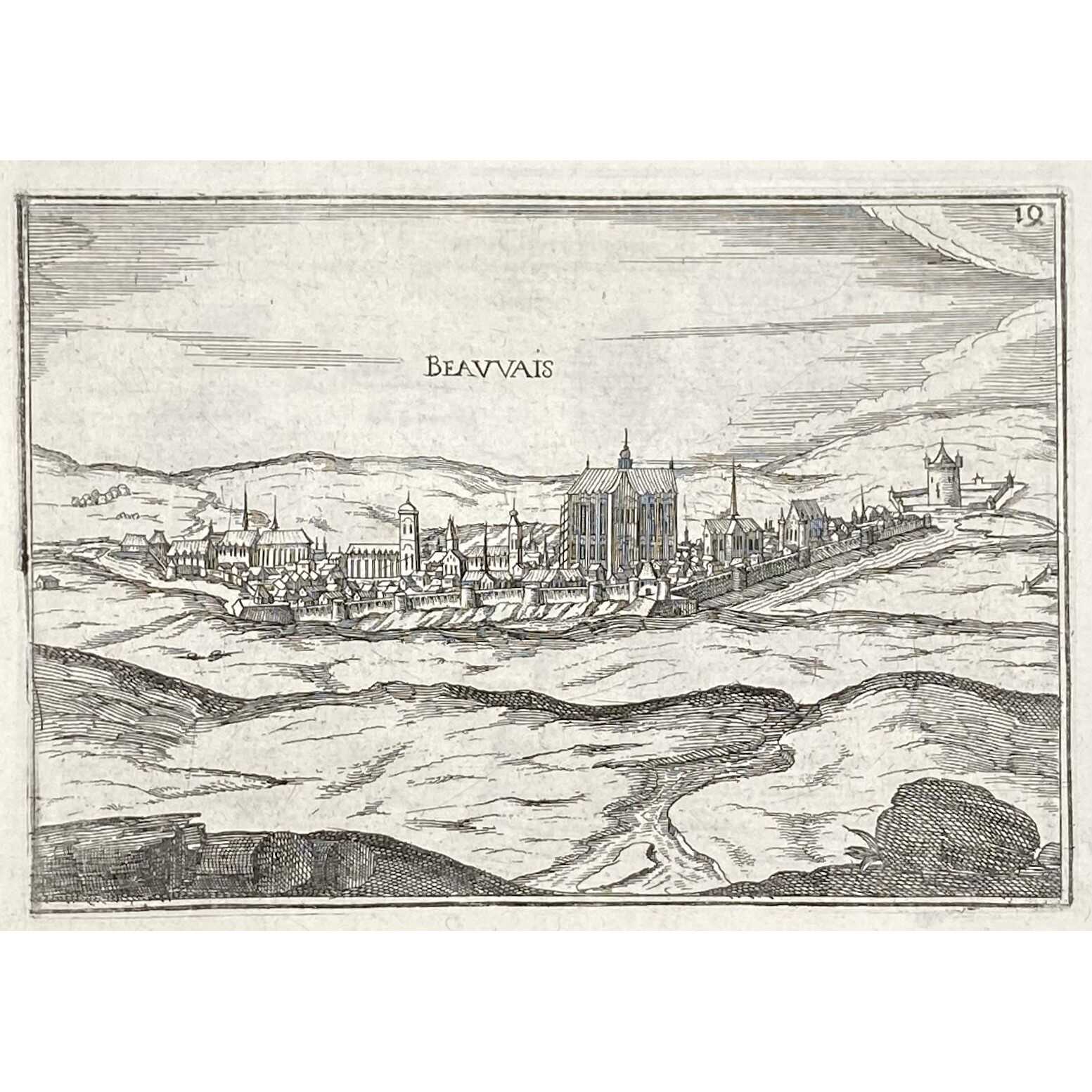
- Gouvernment de Beauvais
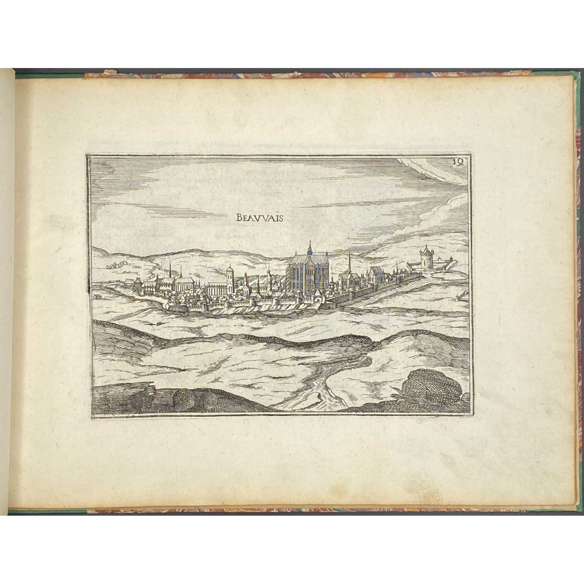
- Beauvais
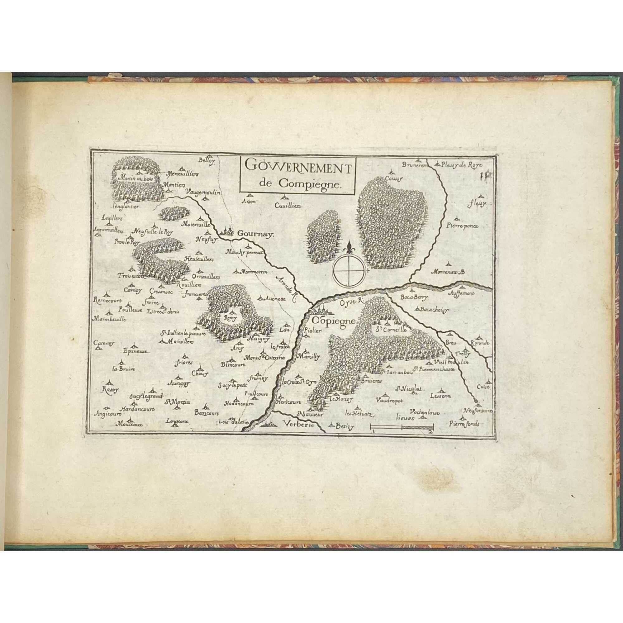
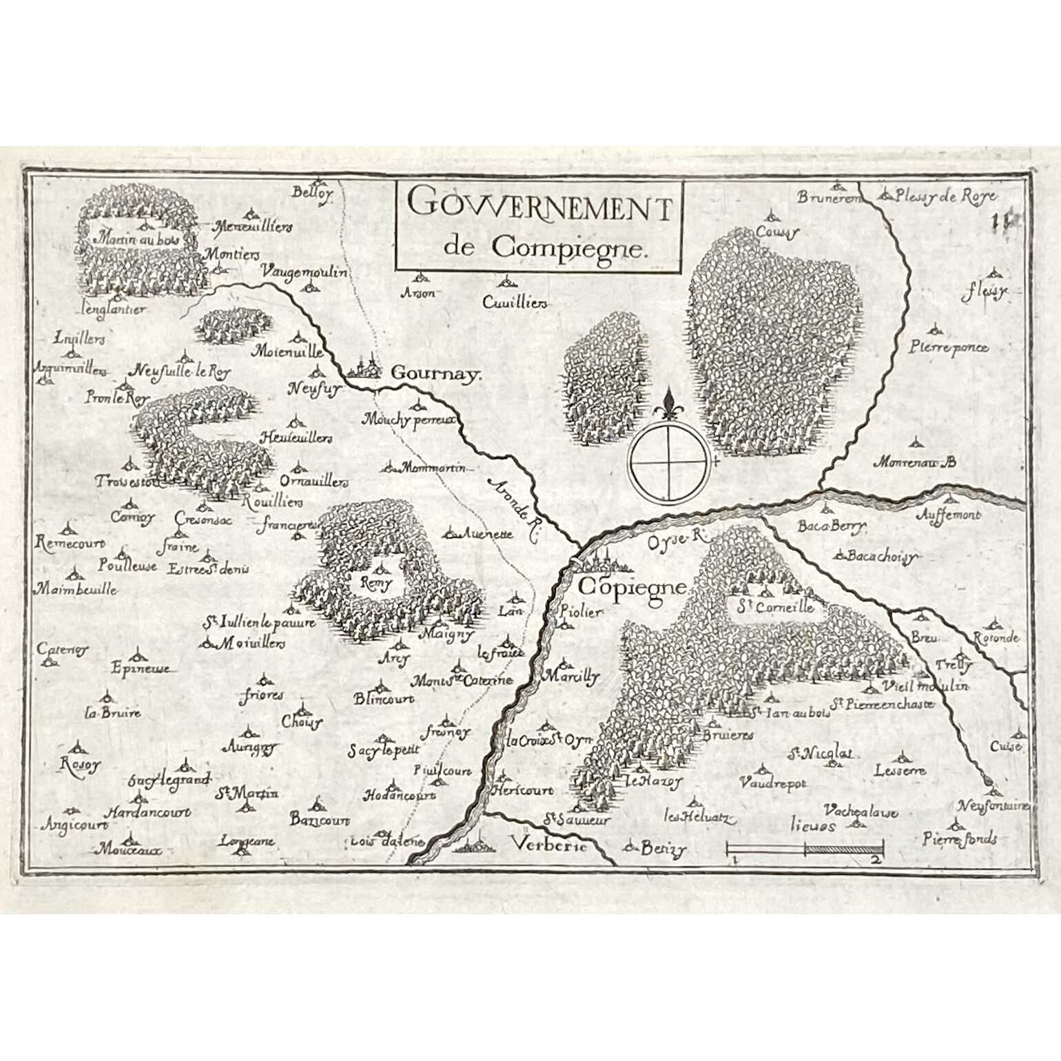
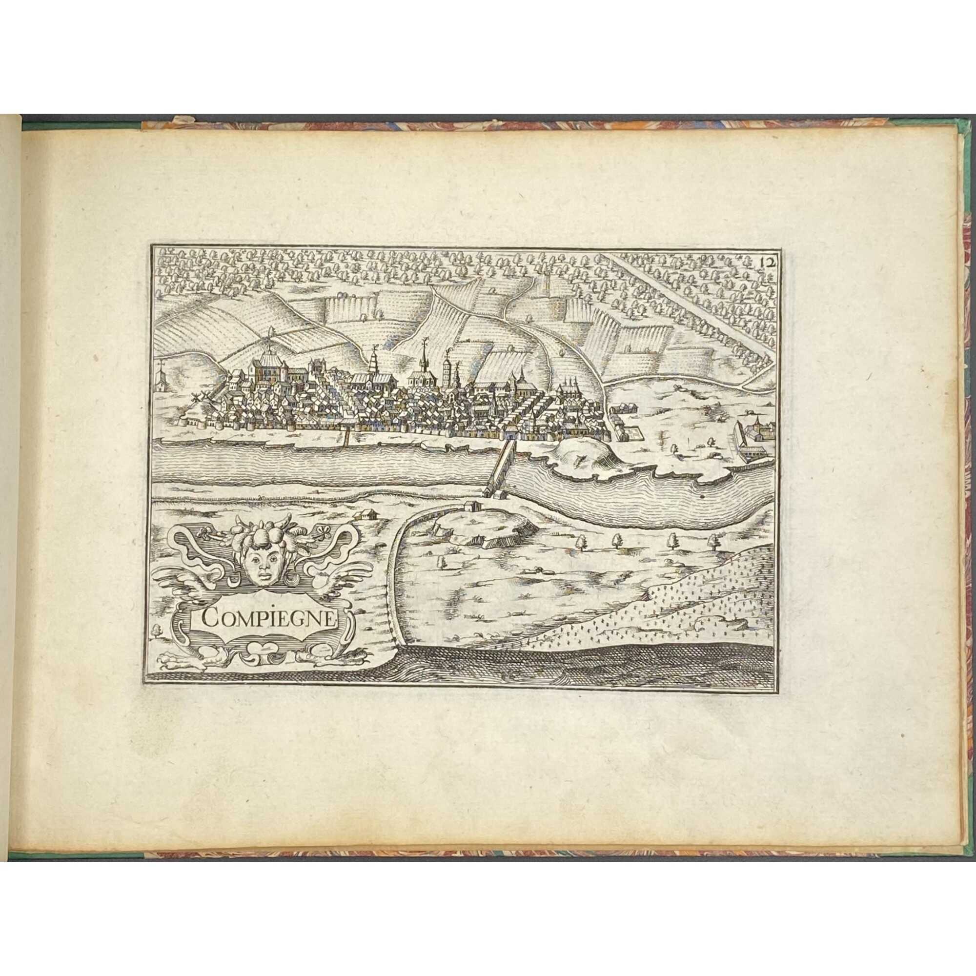
- Gouvernment de Compiègne
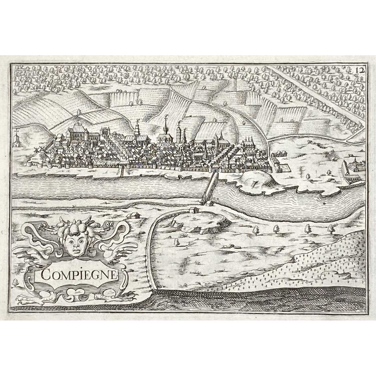
- Compiègne
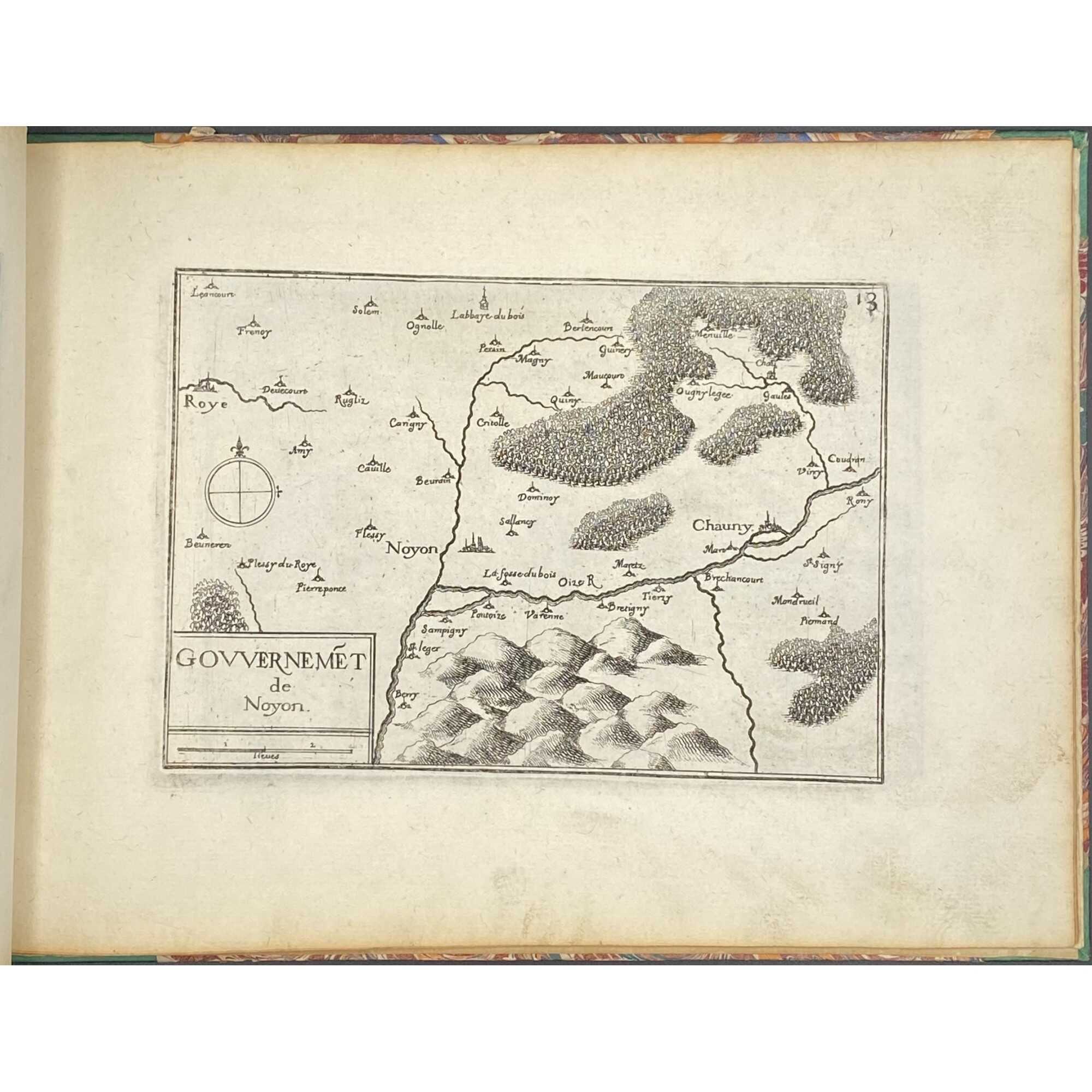
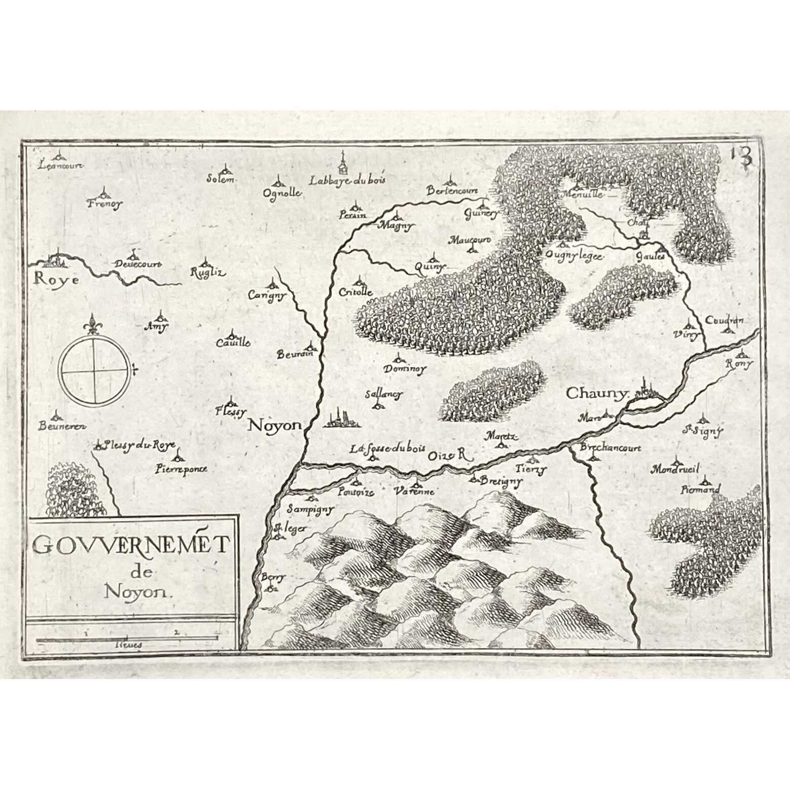
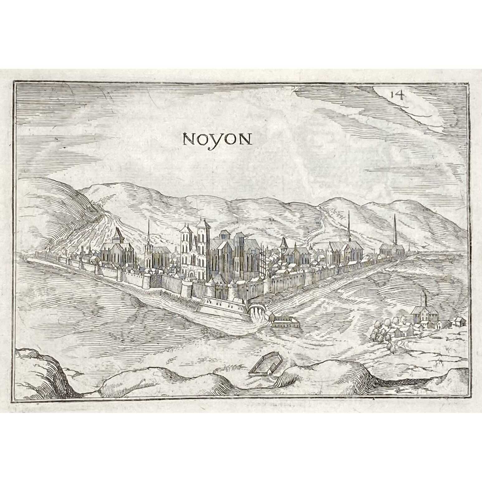
- Gouvernment de Noyon
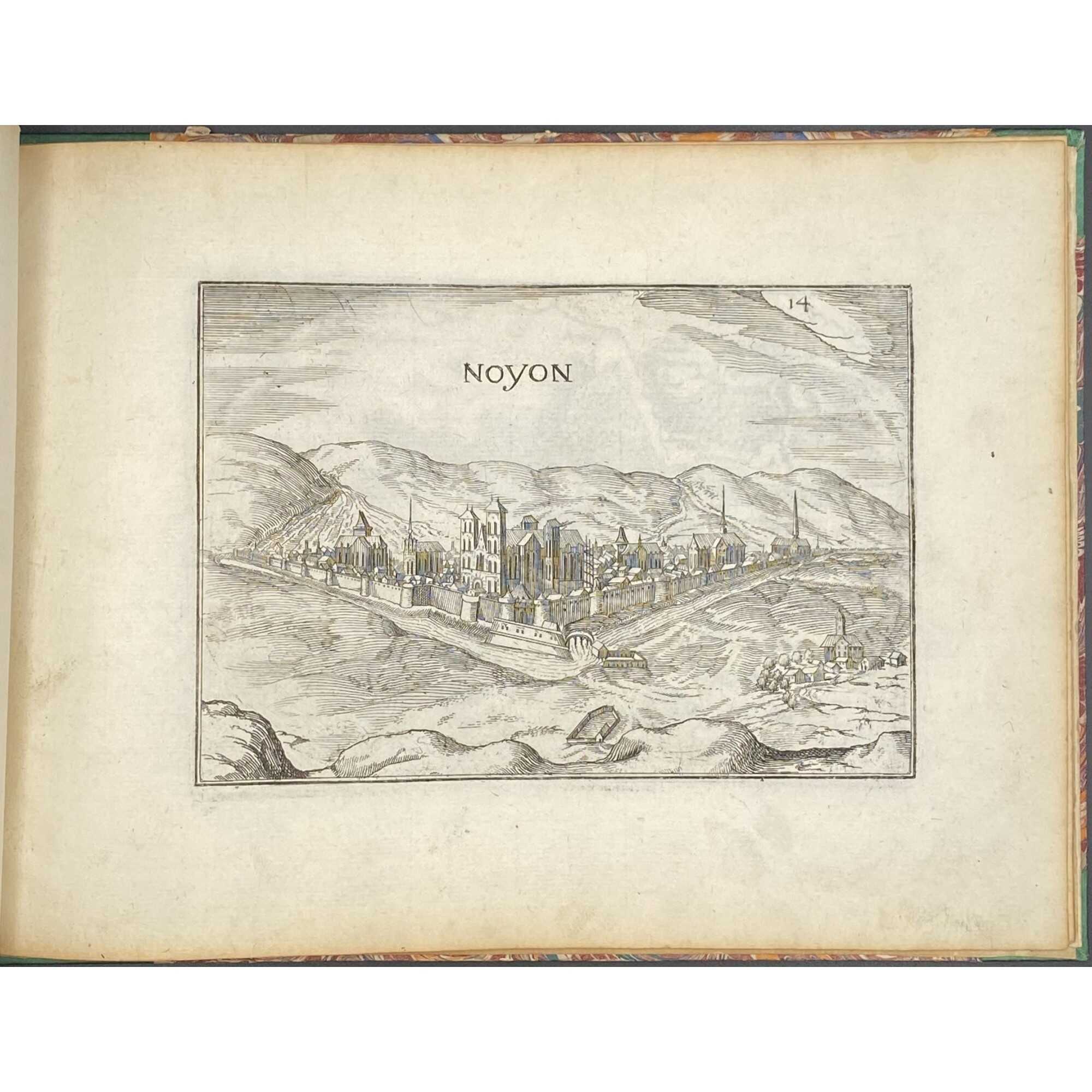
- Noyon
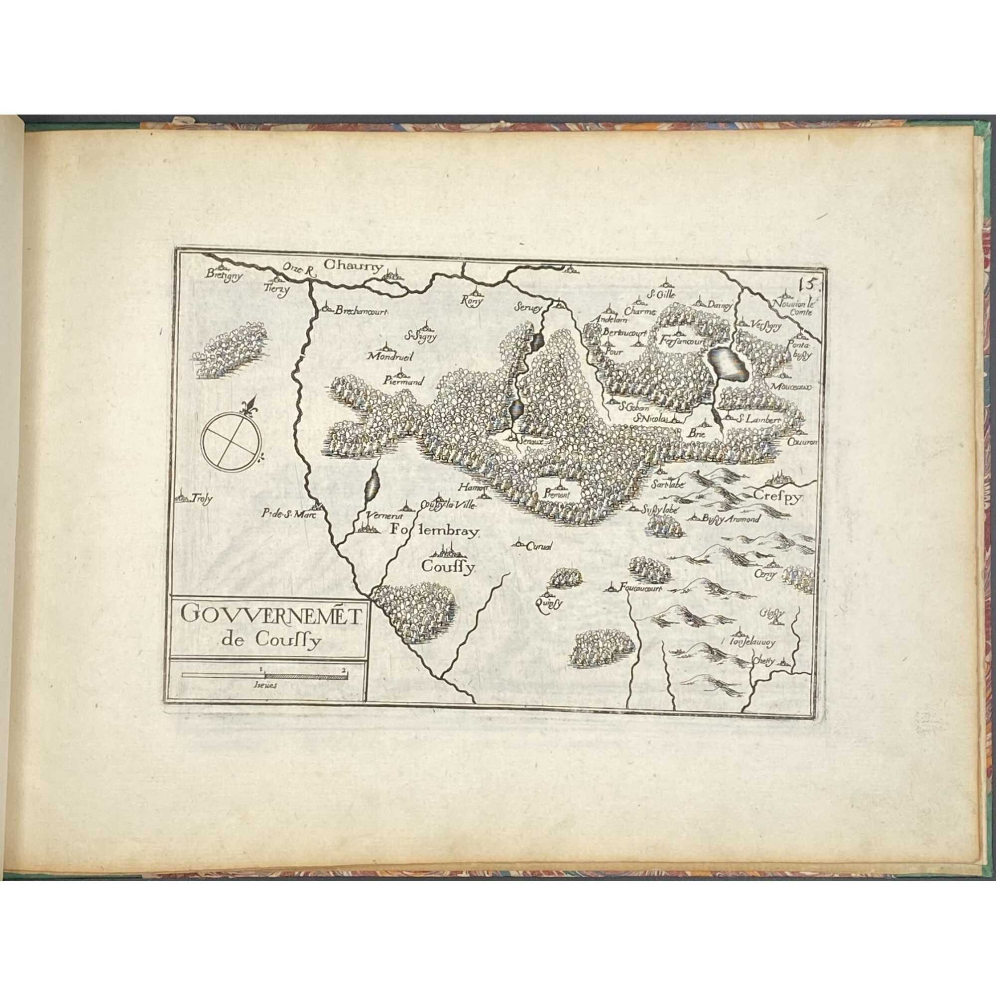
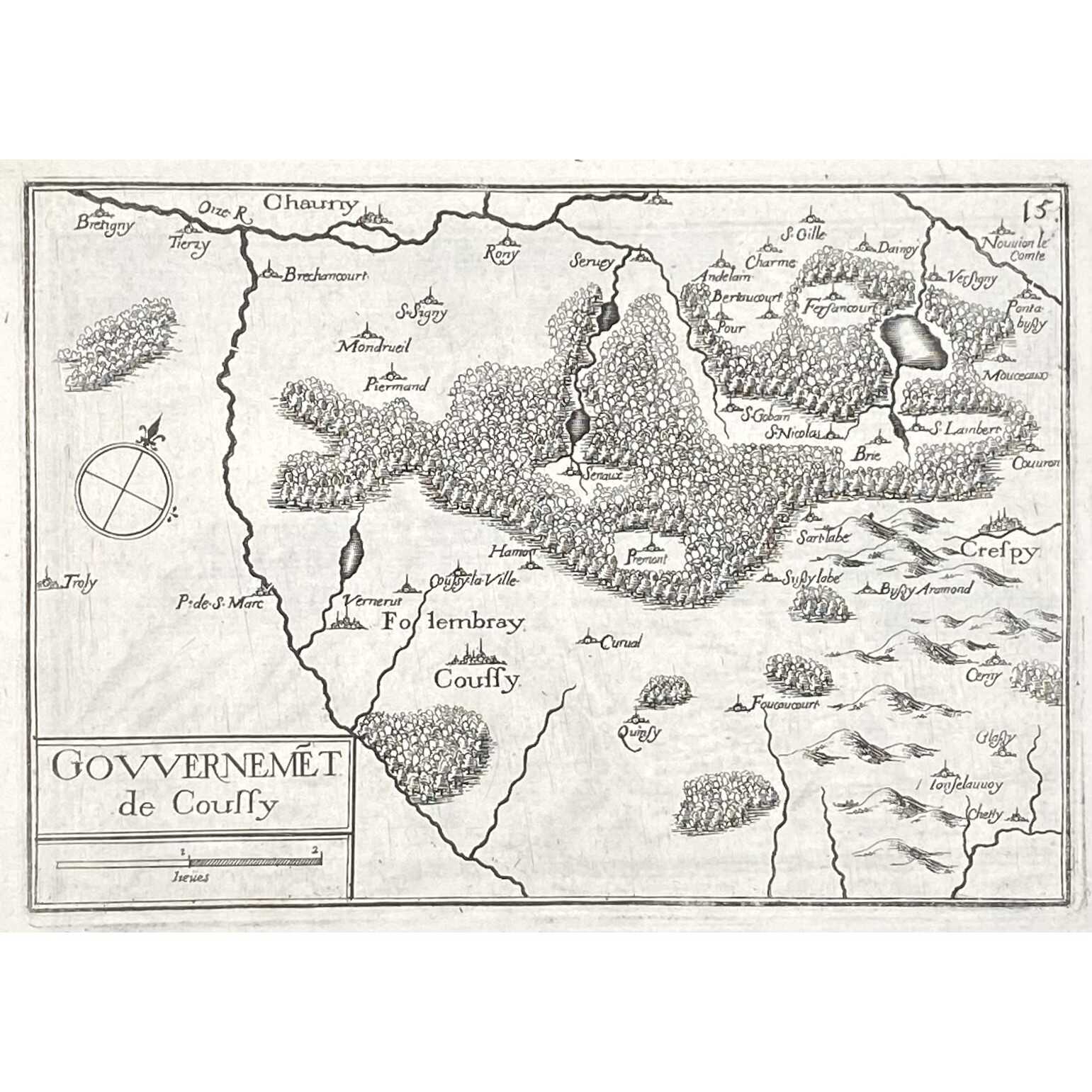
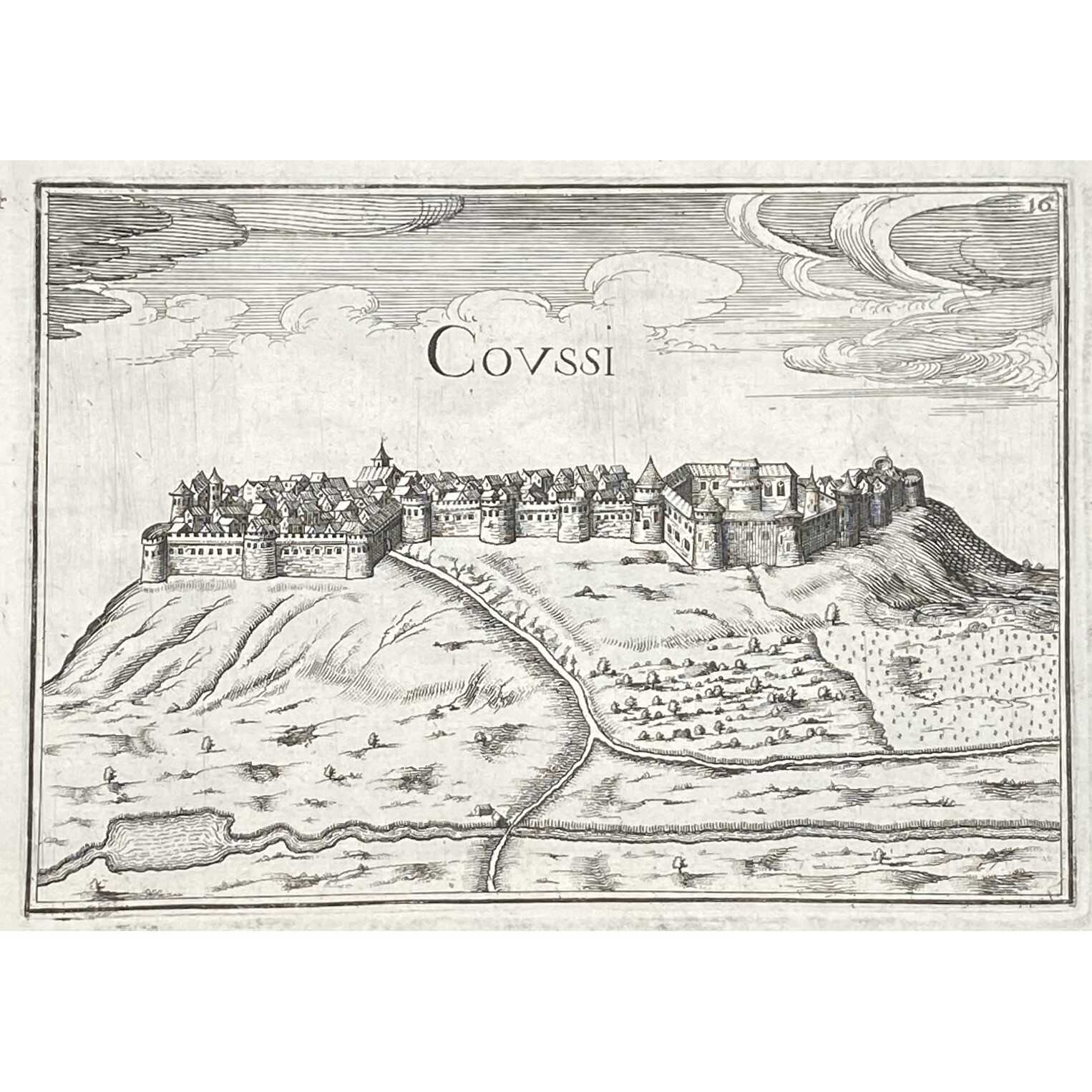
- Gouvernment de Coussi
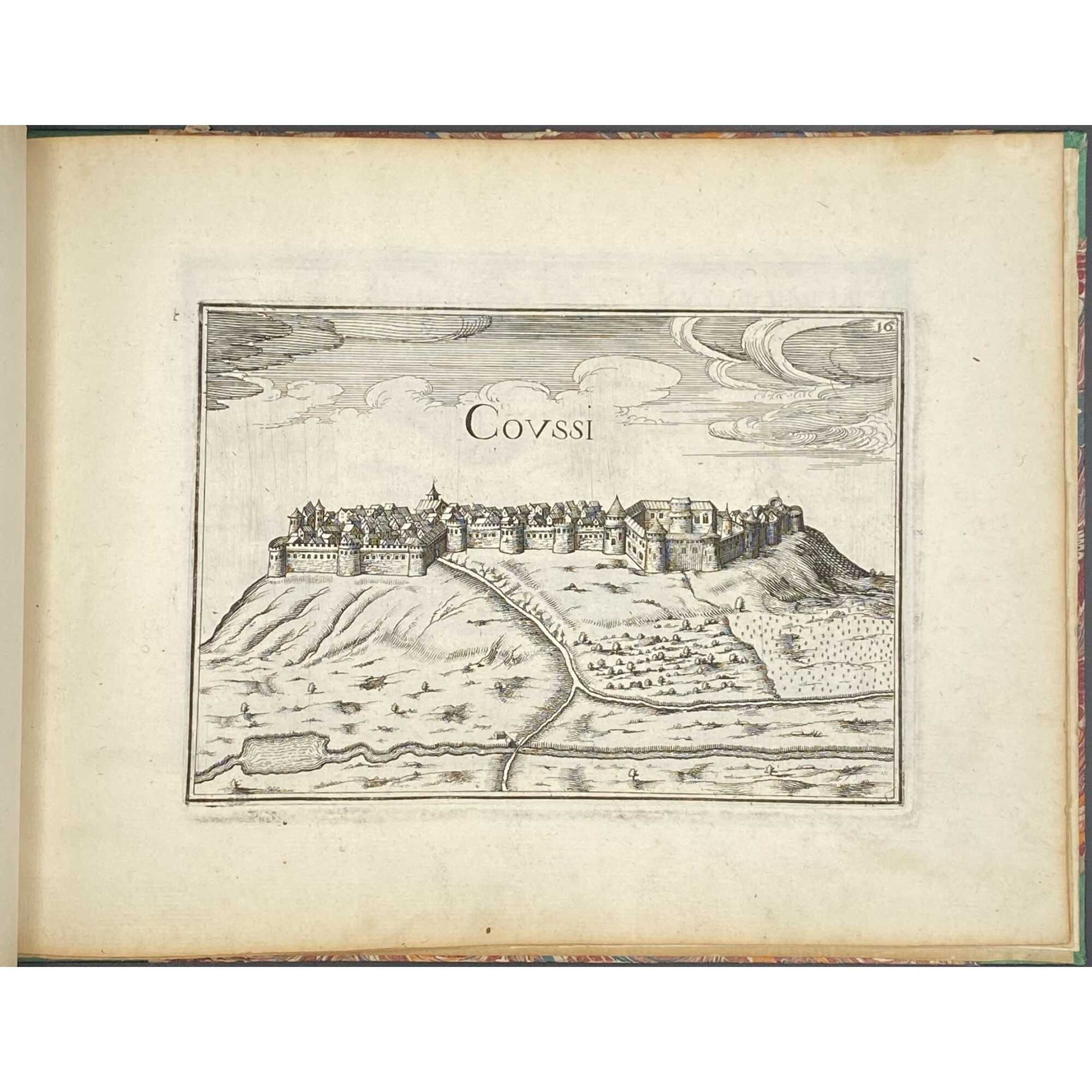
- Coussi
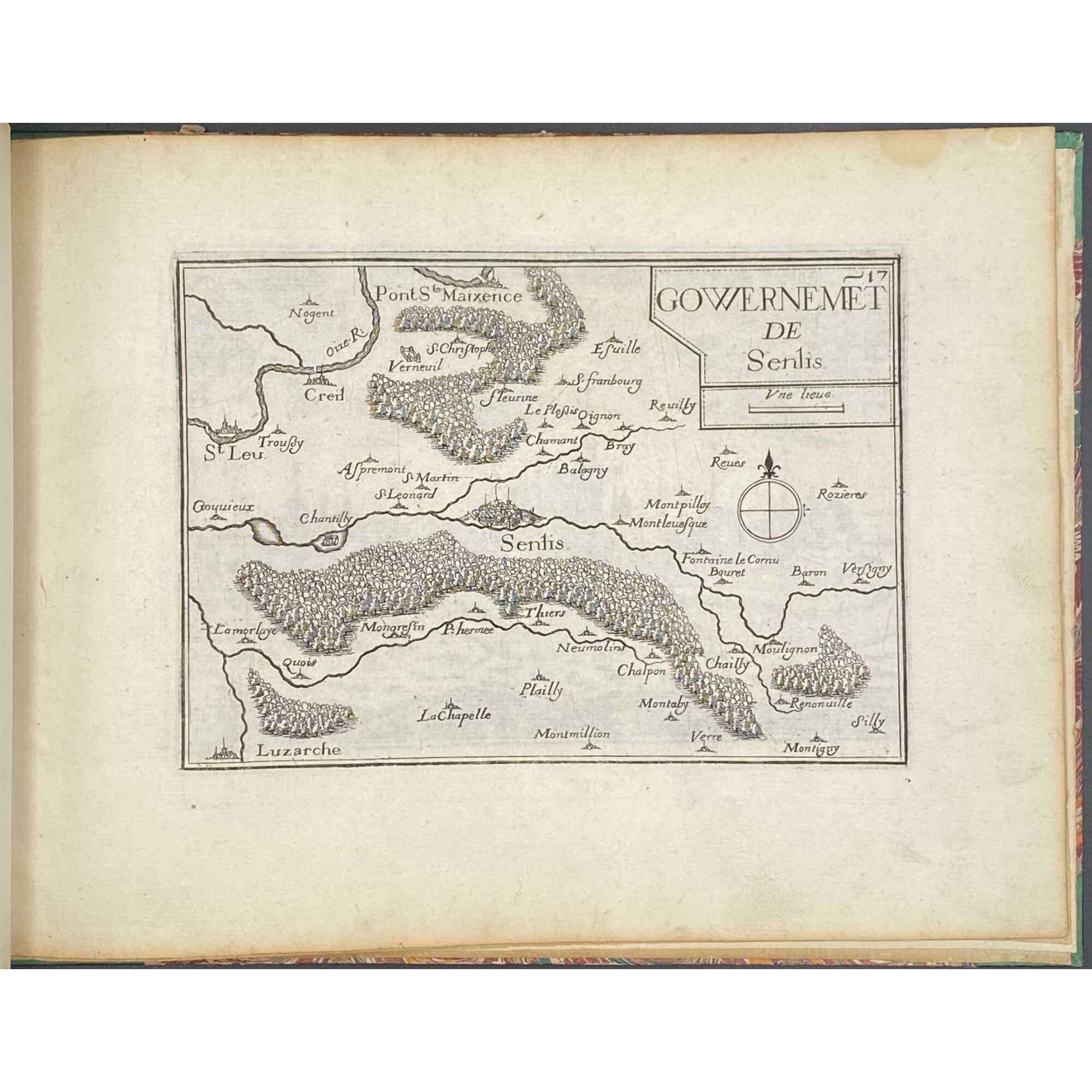
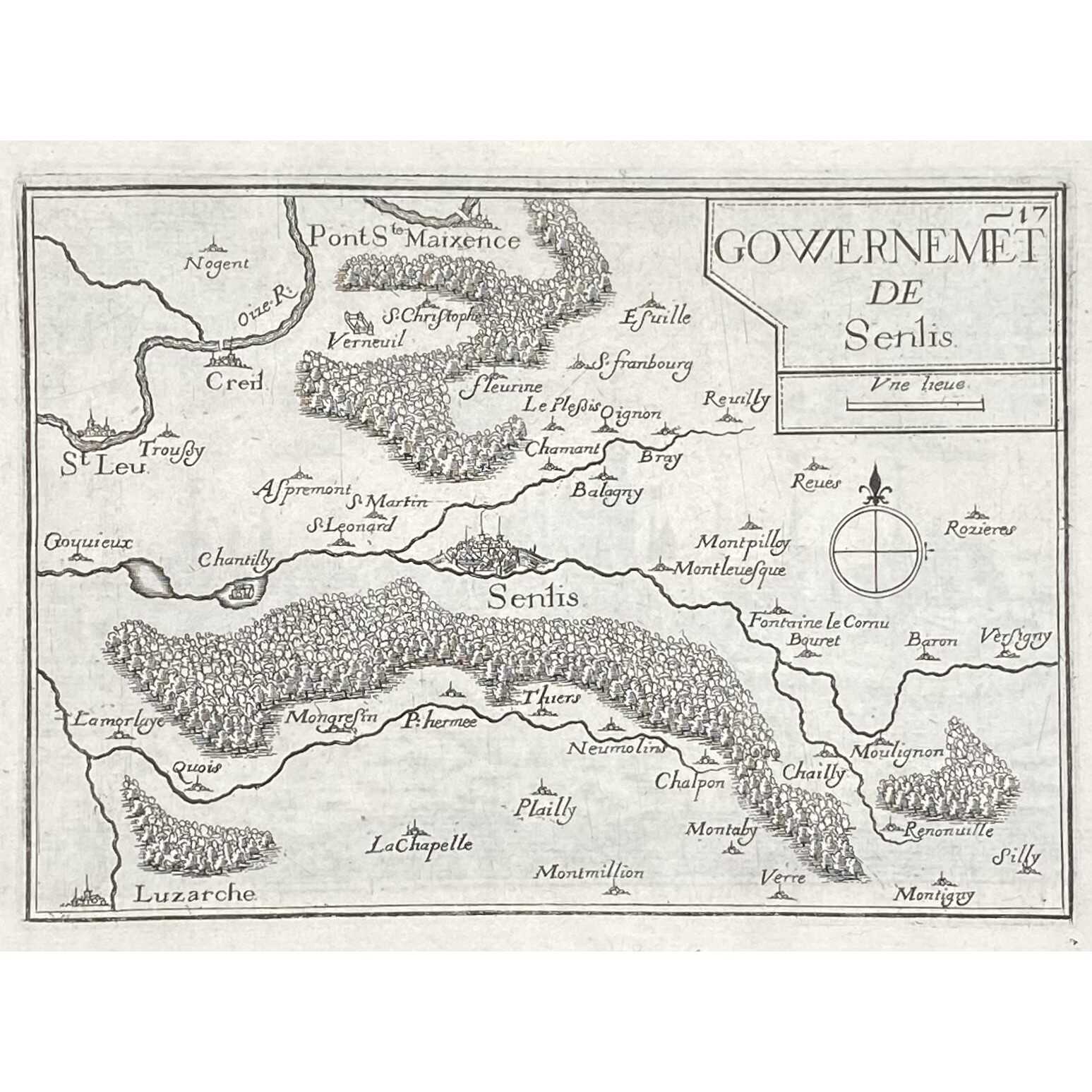
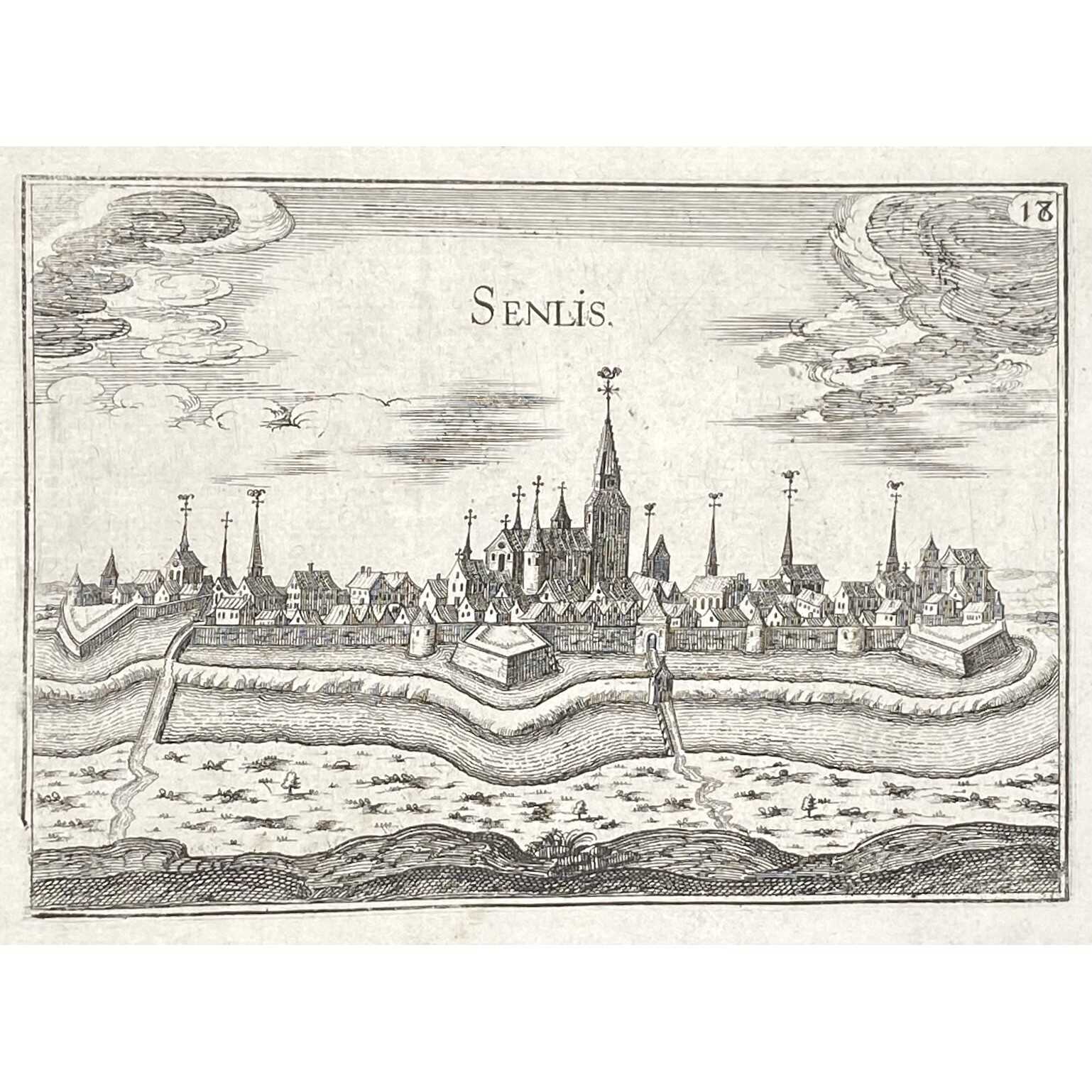
- Gouvernment de Senlis
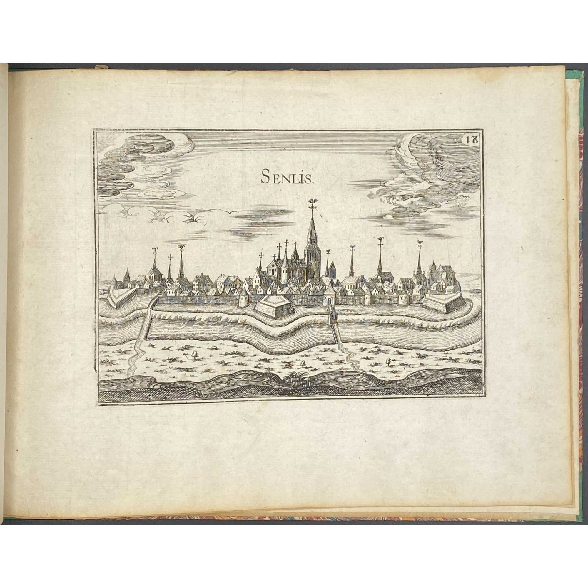
- Senlis
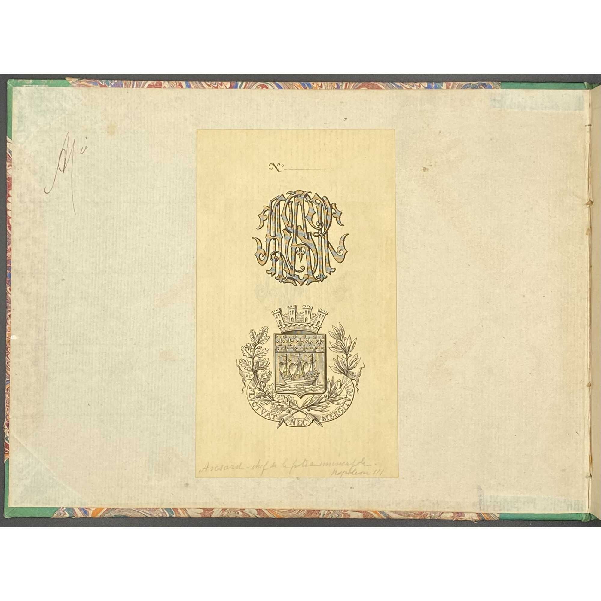
Bookplate of Ansar to front pastedown – Selim Hippolyte Ansart (1829-1897), commissar of police in the Second Empire and shortly after.
Regarding our copy's dating: The same unusual spelling on the title is at Getty's Library (Library's copy lacks no. 5 of the Isle de France section, i.e. plan of Paris).
Additional Information
| Collection | European prints and drawings , Illustrated books , Library |
|---|---|
| Type / Purpose | Book |
| Binding | Half-vellum , Hardcover |
| Size | 17.6 x 23.7 cm , 8vo |
| Subject | Cities and towns , France , Maps , Paris , Île-de-France |
| Country | France |
| Period | Mid-17th century |
| Language | French |
| Edition | Book , Illustrated book , Maps |
| Media/Technique | Copperplate engraving , Engraving , Etching , Laid paper , Paper |
| Creation / Publishing year | 1636 |
| Acquisition year | 2020 |


