OBJECTS
PICTURES
BOOKS
BLOG
CONTACT
SUBSCRIBE
OBJECTS
PICTURES
BOOKS
BLOG
CONTACT
SUBSCRIBE
Home
/
Collection
/
Pictures
/
European prints
Sort by
Date
Sort by
Default Order
Sort by
Name
Sort by
Price
Sort by
Date
Sort by
Popularity
Sort by
Rating
Show
18 Products
Show
18 Products
Show
36 Products
Show
54 Products
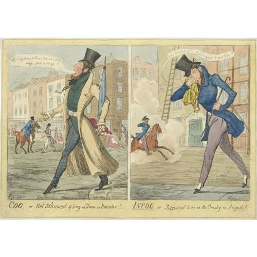
COG.- or not ashamed of being in town in November! – INCOG or supposed to be in the country in August! George Cruikshank after M. Egerton, 1826.
Favorites
View wishlist
Details
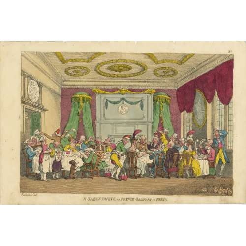
A table d’hote or French ordinary in Paris. Thomas Rowlandson, 1810.
Favorites
View wishlist
Details
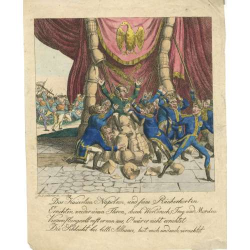
Das Kaiserlein Napoleon, und seine Rauberhorten. L. Schlemmer, hand-coloured etching, c. 1815.
Favorites
View wishlist
Details
Losing my seat. [Anonyme] A. Sharpshooter, 1829.
Favorites
View wishlist
Details
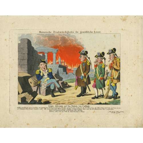
Scipio Africanus auf den Ruinen von Carthago. German anonyme, hand-coloured etching, c. 1815.
Favorites
View wishlist
Details
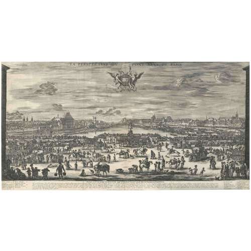
Stefano della Bella. La perspective du pont Neve de Paris; etching, 1646 (2nd state).
Favorites
View wishlist
Details
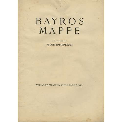
Bayros-mappe mit vorwort von Rudolf Hans Bartsch. — Wien: Ed. Strache, [1921].
Favorites
View wishlist
Details
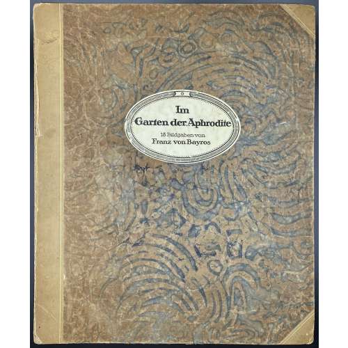
Im Garten der Aphrodite. 18 Bildgaben von Franz von Bayros. Privatdruck. — s.l.: s.n., s.a. [c. 1920].
Favorites
View wishlist
Details
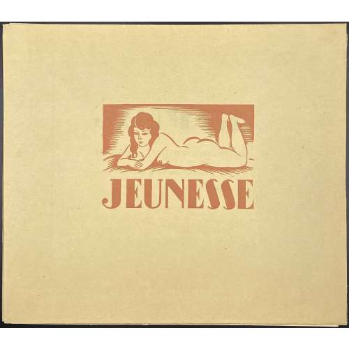
[André Collot]. Jeunesse. — [Paris], 1933.
Favorites
View wishlist
Details
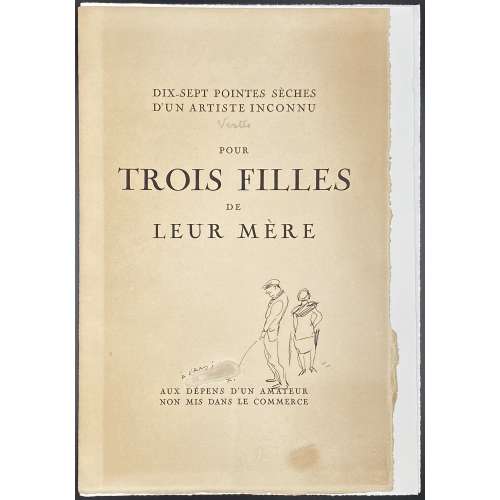
[Marcel Vertès]. Trois filles de leur mère. — [Paris: Marcel Cotinaud, 1927].
Favorites
View wishlist
Details
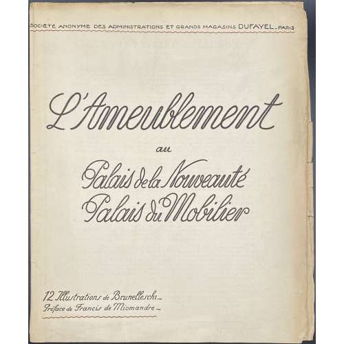
L’Ameublement: Palais de la Nouveauté, Palais du Mobilier / Illustrations de Brunelleschi, préface de Francis de Miomandre. — Paris: Grands Magasins Dufayel, 1923.
Favorites
View wishlist
Details
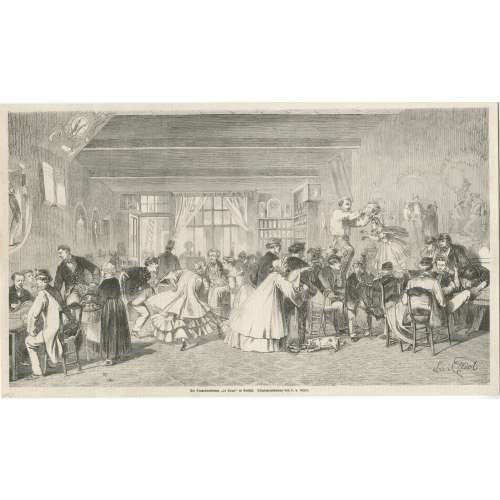
Die Studentenkneipe “Le Trou” in Brüssel, Leo von Elliot (1863).
Favorites
View wishlist
Details
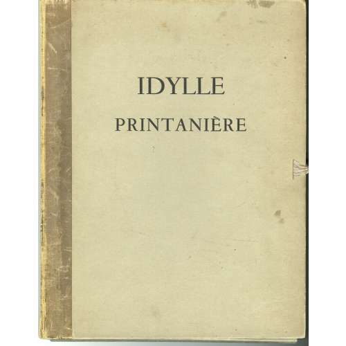
[Feodor Rojankovsky]. Idylle printanière. — [Paris: Henri Pasquinelli, 1938].
Favorites
View wishlist
Details
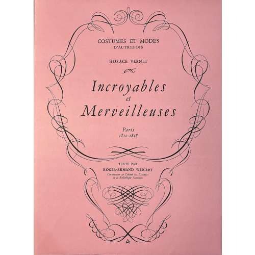
Costumes et Modes d’autrefois. Horace Vernet. Incroyables et Merveilleuses. — Paris: Éditions Rombaldi, 1955.
Favorites
View wishlist
Details
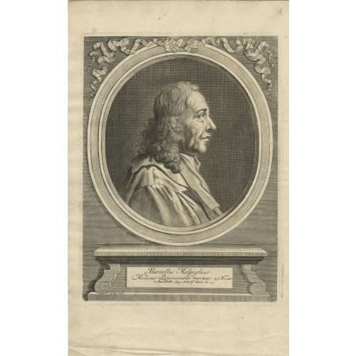
A portrait of Marcello Malpighi from his Opera Posthuma (1697).
Favorites
View wishlist
Details
Previous
1
2
3
4
5