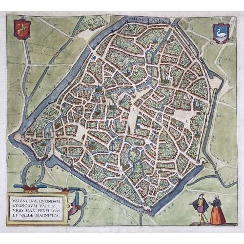
VALENCENA, QUONDAM | CYGNORUM VALLIS | URBS HAN: PERELEGÃS | ET VALDE MAGNIFICA. ||
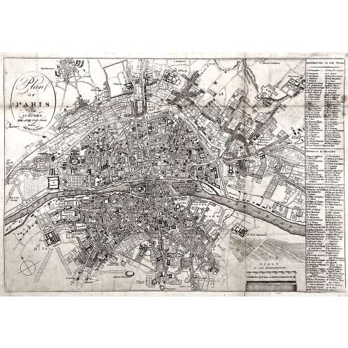
Engraved and hand-coloured map of Valenciennes first produced for Braun & Hogenberg's 6-volume Civitates orbis terrarum edition in 1570.
English translation of the text printed on verso: "The Loire, an exceedingly well-known river in France, flows directly past the city and is very beneficial for trade. The fields surrounding the city are very fertile, and for this reason, the city is also called the granary throughout France, just as in earlier times Sicily was the granary of Rome. A famous wine also grows in this soil, which is exported from here not only throughout France but to all the countries in Europe. [...] The French spoken here is pure and uncorrupted, which is also the reason why so many foreigners settle here. For some are here for trade, others for study and others again to acquire the language, but also many without doubt for both these last two reasons, [...] and Germans, in particular, send their children here." [by Barry Lawrence Ruderman Antique Maps Inc.]
Dimensions: Sheet: 39.8 x 53.5 cm; Image: 35.2 x 38.5 cm.
Probably published in Cologne is 1612-18 by Petrum à Brachel: [Coloniae Agrippinae: apud Petrum à Brachel, sumptibus auctorum, 1612-1618].
Ref:
LOC.
Georg Braun [Brunus; Bruin] (German, 1541 – 1622).
Frans Hogenberg (Flemish-German, 1535 – 1590).
Abraham Ortelius [Ortels; Orthellius; Wortels] (Dutch, 1527 – 1598).


