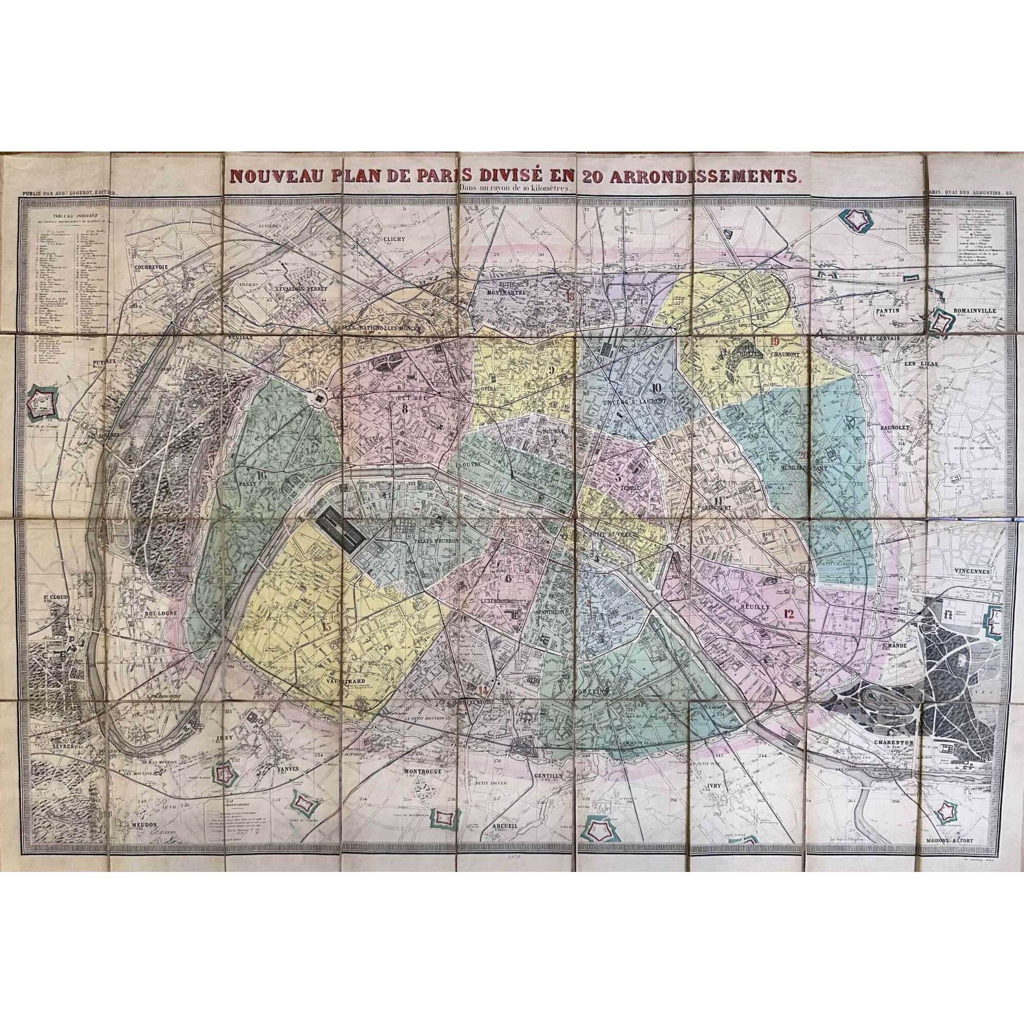
A jigsaw pocket map of Paris, 763 x 1086 mm, coloured, 36 segments on a canvas base; folded size: 190 x 125 mm. A high-quality image at WikipédiA.
Reference: "An extremely large 1878 pocket of Paris by A. Logerot. It covers the walled centre of Paris and its immediate vicinity, including the Bois de Boulogne and Bois de Vincennes. All streets and many important buildings are noted throughout. Colour-coded by arrondissement. All text is in French. This map was first issued by Logerot in 1859 and updated annually through the 1880s. This is the 1878 edition drawn by Ch. Smith". [Geographicus Rare Antique Maps]
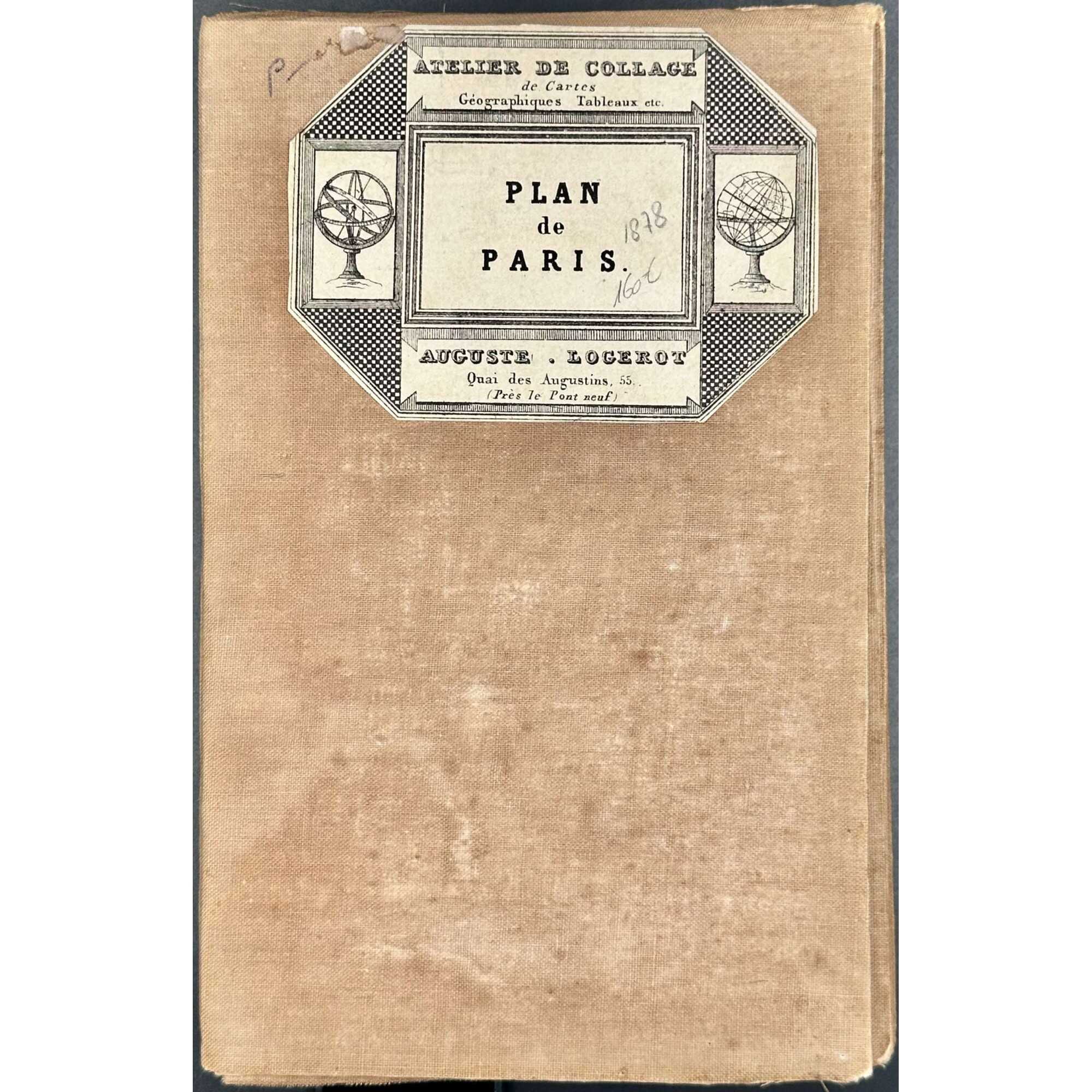
Label: ATELIER DE COLLAGE | de Cartes | Géographiques Tableaux etc. | PLAN | de | PARIS | AUGUSTE • LOGEROT | Quai des Augustins, 55. | (Près le Pont neuf) ||
Top : NOUVEAU PLAN DE PARIS DIVISE EN 20 ARRONDISSEMENTS. | Dans un rayon de 10 kilomètres. | PUBLIÉ PAR AUG. LOGEROT, ÉDITEUR. [—] PARIS, QUAI DES AUGUSTINS, 55.
Bottom centre :1878, Right : IMP. MONROCQ, PARIS.
Description: Entoilage beige de l’époque, 36 segments. Arrondissements, forts et fortifications en couleurs.
Contributors:
Logerot, Auguste (French, fl. c.1839 – c.1880)
Monrocq, Jean Noël (French, 1819 – 1913)
Imprimerie Monrocq (Paris)
Additional Information
| Collection | French history, art, literature , Paris |
|---|---|
| Type / Purpose | Map |
| Period | 19 AD , Late 19th century |
| Country | France |
| Language | French |
| Subject | Cities and towns , City , France , Paris , Physical maps |
| Material | Canvas , Cloth , Paper |
| Creation / Publishing year | 1878 |
| Location | BOX 39. |
| Acquisition year | 2024 |


